

The Safest Areas in Bristol: Every Ward Ranked (2026)
If you’re moving to Bristol, or your child is, the safest areas in Bristol are easy to find. The city feels safe, too. Close to nine in ten residents feel safe in their own area by day (86.6%) (Bristol City Council, 2025). The five quietest wards are Stoke Bishop, St George Troopers Hill, Redland, Clifton and Cotham (data.police.uk, 2026). Four of them are green, residential neighbourhoods north and north-west of the centre.
The pattern behind Bristol’s ward figures is simple. Recorded crime is highest where visitors go: the city centre’s shops and nightlife, and the Harbourside (data.police.uk, 2026). The streets where most people live are much calmer. In short, crime follows the crowds, not the homes.
Here’s a puzzle, though. Hotwells and Harbourside has Bristol’s second-highest crime rate (data.police.uk, 2026). Yet the people who live there feel safer at night than residents of most other Bristol wards. After dark, 71.6% feel safe, against 56.4% across Bristol (Bristol City Council, 2025). How can both be true? The answer, in our Harbourside section, explains Bristol’s two highest rates.
A ward is one of the 34 areas that elect Bristol’s councillors. For the city-wide picture, read our guide on whether Bristol is safe overall.
Key Takeaways
- Stoke Bishop has Bristol’s lowest crime rate, 51.3 per 1,000 residents (data.police.uk, 2026), and 97.3% feel safe there by day (Bristol City Council, 2025).
- St George Troopers Hill, Redland, Clifton and Cotham complete the five lowest-crime wards (data.police.uk, 2026).
- The busy city centre and the Harbourside, where visitors shop and go out, record the highest rates (data.police.uk, 2026).
- There are not any no-go areas in Bristol.
- Rates and feelings don’t always match. Filwood records less crime than the city as a whole, yet just 25.2% of residents feel safe after dark (data.police.uk, 2026; Bristol City Council, 2025).
In this guide
- What are the safest areas in Bristol?
- What are the safest areas for students?
- Are there areas to avoid in Bristol? Where to take more care
- Every Bristol ward ranked
- How safe does each area feel?
- Is my area safe? Every other area, one by one
- Where do students live in Bristol, and how safe is it?
- Best areas to live in Bristol
- How we worked this out
- Frequently asked questions
Find your area: Avonmouth and Lawrence Weston · Bedminster, Southville and Windmill Hill · Bishopston, Ashley Down and Horfield · Bishopsworth · Brislington, St Anne’s and Stockwood · City centre (Central ward) · Clifton · Clifton Down and Whiteladies Road · Cotham · Easton (with Lawrence Hill) · Eastville, Frome Vale and Hillfields · Hartcliffe and Withywood · Hotwells and Harbourside · Knowle, Filwood and Hengrove · Lockleaze · Redland · Southmead, Henbury and Brentry · St George Central and West · St George Troopers Hill · St Pauls, Stokes Croft and Montpelier (Ashley) · Stoke Bishop · Westbury-on-Trym and Henleaze
Can’t see your area? Every ward is in the ranked table.
What are the safest areas in Bristol?
Most people picture somewhere calm and green when they think of a safe place to live. In Bristol, the figures mostly agree. Stoke Bishop recorded 51.3 crimes per 1,000 residents over the year to August 2026 (data.police.uk, 2026). No other ward came lower.
Four more wards sit close behind Stoke Bishop: St George Troopers Hill, Redland, Clifton and Cotham. All five record 62.0 crimes per 1,000 or fewer (data.police.uk, 2026). That’s under half the rate for Bristol as a whole, which is 126.8 on the same police.uk measure. Most are residential wards.
Four of Bristol’s five quietest wards also feel very safe. In Clifton, 98.6% of residents feel safe by day, and about four in five (81.9%) after dark (Bristol City Council, 2025). Fear of crime affects daily life for just 5.3% of Clifton residents, the lowest share in Bristol. Redland, Cotham and Stoke Bishop all top 97% by day.
Stoke Bishop



Swipe or scroll sideways for more photos.
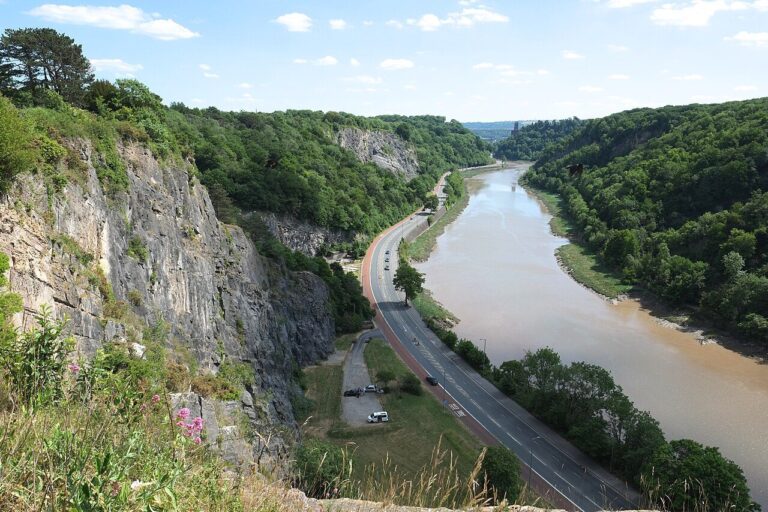
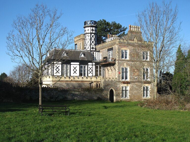
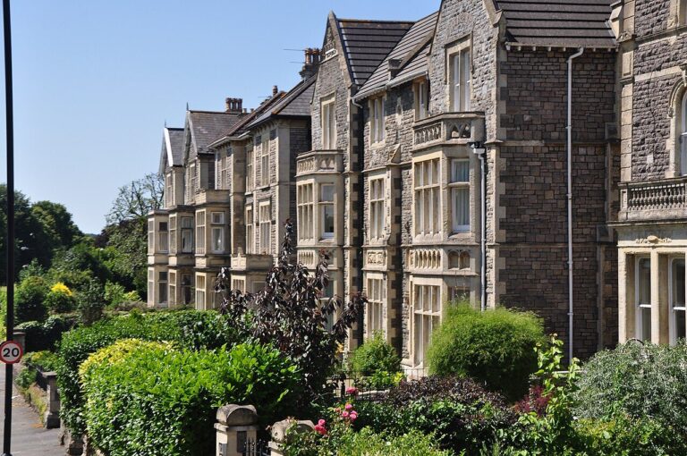
The short answer: In Stoke Bishop, big Victorian villas run right to the wooded edge of the Avon Gorge (Bristol City Council, 1990s). The centre is a little further away. Stoke Bishop is considered very safe: 97.3% of residents feel safe by day (Bristol City Council, 2025).
Getting there: It’s about 20 minutes to the University of Bristol by bike, and 25 to Broadmead in the city centre (OpenStreetMap, 2026). The number 4 bus takes about 20 minutes to the University and 40 to Broadmead (Google Maps, 2026). The University of the West of England (UWE) is further out. Its Frenchay campus is about 35 minutes by bike, or about an hour by bus with one change. Nearby Sea Mills station is on the Severn Beach line, with trains about every 30 minutes from Monday to Saturday (TravelWest, 2026; Bristol City Council, 2011).
Living there: Saturday afternoons have a ritual here. From September to April, league football kicks off at 2pm across 32 pitches on the Downs (Bristol Downs Association Football League, 2026). Football has been played on the Downs since the 1880s. An 1861 Act of Parliament keeps the Downs “for ever hereafter open and unenclosed” (Society of Merchant Venturers, 2026).
Older council notes flagged one downside, traffic noise. The noise came from commuters on Stoke Hill and the Portway along the river (Bristol City Council, 1990s). Elsewhere, rubble stone walls line quiet streets, mixing villas with roomy Arts and Crafts semis from between the wars (Bristol City Council, 1990s). The tower of St Mary Magdalene Church is a local landmark. Some of the Avon Gorge’s whitebeam trees grow wild nowhere else in the world (Bristol City Council, undated). For shopping, Westbury-on-Trym’s traditional village High Street is close by (Bristol City Council, 2015).
Best for: quiet streets between the Downs and the Gorge.
The numbers: Stoke Bishop has Bristol’s lowest crime rate, 51.3 per 1,000 residents, down 13% in three years (data.police.uk, 2026). That’s the joint-largest drop in the city. After dark, 73.8% of residents feel safe (Bristol City Council, 2025). Violence and sexual offences make up 35% of crime, with criminal damage and arson next at 14%.
St George Troopers Hill
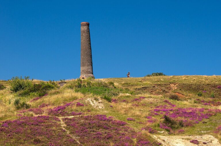

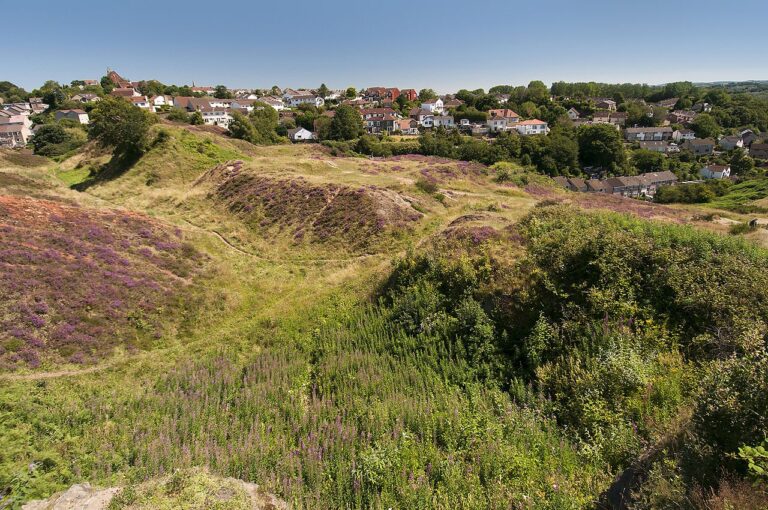

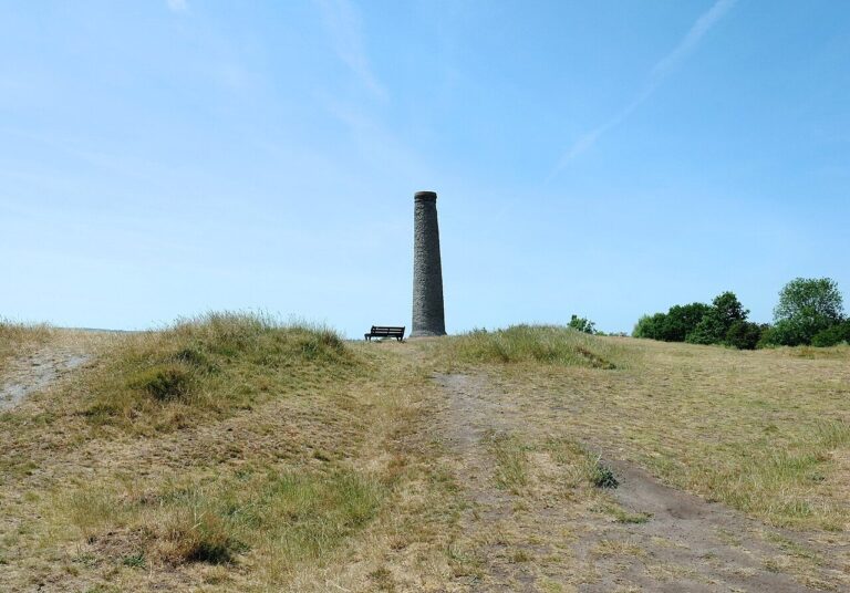

The short answer: A leaning chimney crowns Troopers Hill, a heather-covered nature reserve above the River Avon with views across Bristol (Bristol City Council, 2026; Friends of Troopers Hill, 2026; Friends of Troopers Hill, 2026). Entry is free, day or night. St George Troopers Hill is considered safe: 88.9% of residents feel safe by day (Bristol City Council, 2025).
Getting there: From here, a bike is quickest. Broadmead is about 25 minutes away by bike, and the University of Bristol about 30 (OpenStreetMap, 2026). By bus, the 44 reaches Broadmead in about 40 minutes. The number 5 gets to the University in about 50 (Google Maps, 2026). UWE’s Frenchay campus is about 35 minutes by bike, or just over an hour by bus with one change. Buses 44 and 45 stop at Summerhill Road and Air Balloon Road, close to the reserve (Friends of Troopers Hill, 2026).
Living there: The council calls Troopers Hill great for flying kites, because it’s always windy up there (Bristol City Council, 2026). Visit Bristol rates the hill a great place to watch hot air balloons (Visit Bristol, 2026). Troopers Hill is also a Dark Sky Discovery Site. On a clear night, the seven main stars of Orion show up to the naked eye, above the city lights (Friends of Troopers Hill, 2026).
Plan ahead before you visit. Troopers Hill has no car park and no public toilets (Bristol City Council, 2026). Some areas are steep, though a wheelchair-accessible path runs from Malvern Road to the top (RSPB Bristol Local Group, 2026; Friends of Troopers Hill, 2026). Buzzards, long-tailed tits, mining bees and butterflies have all been spotted on the hill (RSPB Bristol Local Group, 2026). For shopping, Church Road in neighbouring St George has major supermarkets, delis and a Post Office (Bristol City Council, 2022).
Best for: walkers and stargazers who don’t need the centre every day.
The numbers: On the east side of the city, St George Troopers Hill is Bristol’s smallest ward, home to just 6,533 people (ONS via Nomis, 2025). It records the second-lowest crime rate, 51.6 per 1,000, barely above Stoke Bishop (data.police.uk, 2026). Over three years, the rate has dropped 8%. After dark, 64.6% of residents feel safe, above Bristol’s overall figure of 56.4% (Bristol City Council, 2025). Violence and sexual offences lead, at 46% of crime, and shoplifting follows at 15%.
Redland
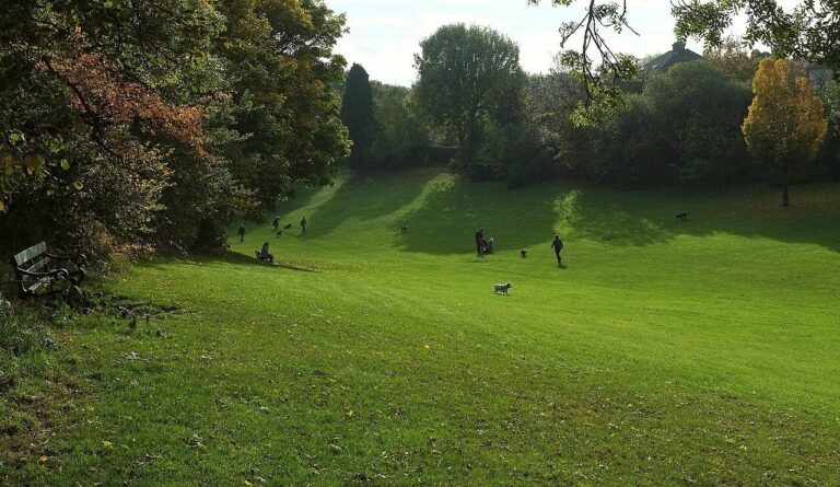

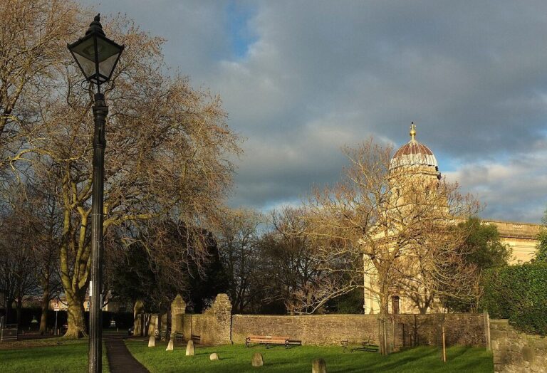

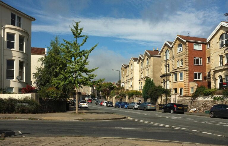

The short answer: Redland is a quiet Victorian neighbourhood whose little Chandos Road, lined with timber shopfronts, has become a dining hot spot (Bristol City Council, 2011; Time Out, 2025). Redland is considered very safe. By day, 98.2% of residents feel safe there (Bristol City Council, 2025).
Getting there: Walking to the University of Bristol takes about 35 minutes. By bike it’s about 10, and Broadmead, in the city centre, is about 15 by bike or 35 on foot (OpenStreetMap, 2026). On the bus, the 4 reaches the University in about 20 minutes. The 74 gets to Broadmead in about 30 (Google Maps, 2026). UWE’s Frenchay campus is about 30 minutes by bike. Redland also has its own little station on the Severn Beach line, built in 1897 after locals petitioned for it (Bristol Rail Campaign, 2026).
Living there: Redland Green is the suburb’s back garden. The green holds 174 trees, including an avenue of plane trees about 100 years old, plus allotments and a playground (Bristol City Council, 2011; Bristol City Council, 2026). The green’s lower slopes look out to the Mendip Hills. Redland Chapel dates from 1742 and has a “pepper pot” tower topped by a gilded ball and cross (Bristol City Council, 2011).
Chandos Road’s shopfronts hide a bakery, galleries, pubs, a chippy and a restaurant that held a Michelin star in 2025 (Bristol Live via Yahoo News UK, 2025). Redland’s name is down to earth, too. A record from 1230 calls the area Rubea Terra, Latin for red earth, probably after its red soil (Bristol City Council, 2011).
Best for: a village-green feel, with good food a short walk away.
The numbers: Redland has one of the lowest crime rates in Bristol. Only Stoke Bishop and St George Troopers Hill record less per resident than its 58.0 per 1,000 (data.police.uk, 2026). The rate is level with three years ago. After dark, 78.2% of residents feel safe, well above the 56.4% for Bristol as a whole (Bristol City Council, 2025). Vehicle crime makes up 20% of recorded crime, so leave nothing on show in a parked car.
Clifton
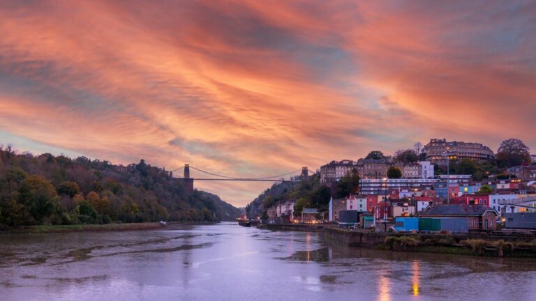
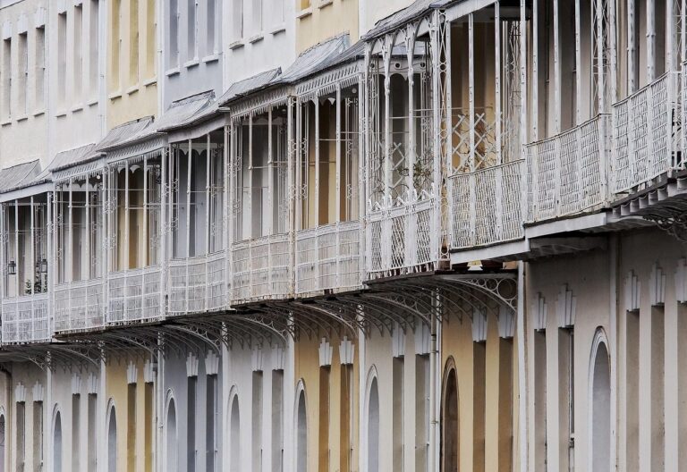
The short answer: Clifton’s Georgian crescents line a steep hillside, topped by a village of small shops and views of the Suspension Bridge (Bristol City Council, 2010). Clifton is considered very safe. By day, 98.6% of residents feel safe, and 81.9% do after dark (Bristol City Council, 2025).
Getting there: The number 5 bus from Clifton Village reaches the University of Bristol in about 10 minutes (Google Maps, 2026). On foot it’s about 25. Broadmead, in the city centre, is about 35 minutes’ walk, 15 by bike or 25 by bus (OpenStreetMap, 2026; Google Maps, 2026). UWE’s Frenchay campus is about 40 minutes by bike, or 45 by bus with one change. Walkers and cyclists cross the Suspension Bridge for free, while drivers pay a toll (Visit Bristol, 2026).
Living there: Clifton Village is made for wandering on foot. The council’s 2010 appraisal called car parking “a problem for residents and shoppers” (Bristol City Council, 2010). Small shops and cafés make a “dynamic” mix on Princess Victoria Street, Boyces Avenue and The Mall (Bristol City Council, 2010). Restaurants run from Indian and Thai to sushi and tapas (Visit Bristol, 2026).
Clifton Observatory is worth the walk. The Observatory sits on an Iron Age hill fort dating from about 350 BC (Bristol City Council, 2010). Inside are one of England’s few camera obscuras and a glass café with a rooftop terrace (Clifton Observatory, 2026). In winter, Clifton Village switches on its Christmas lights beside a large tree in The Mall Gardens (Visit Bristol, 2025).
Best for: Georgian streets, village cafés and long views over the Gorge.
The numbers: Clifton has one of the lowest crime rates in Bristol, fourth lowest at 58.2 per 1,000 residents (data.police.uk, 2026). Over three years, the rate has risen 7%. More of its residents feel safe after dark than in any other ward. That’s 81.9%, against 56.4% for Bristol as a whole (Bristol City Council, 2025). Cars are the thing to watch. Vehicle crime makes up 26% of recorded crime here, the highest share among the five safest wards. Our guide to whether Clifton is safe covers both Clifton wards in more detail.
Cotham
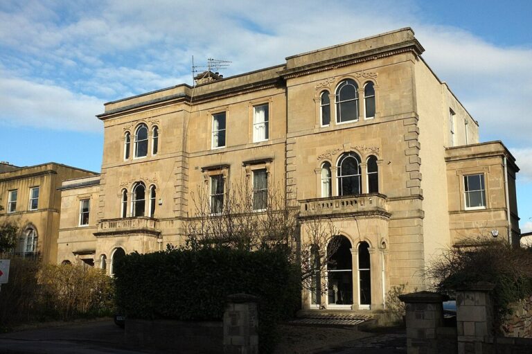

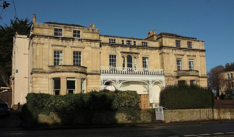

The short answer: Cotham is a hilltop of Victorian stone houses, with long views east across the city towards Bath (Bristol City Council, 2011). Cotham sits between Redland and the city centre. The area is considered very safe: 97.6% of residents feel safe by day (Bristol City Council, 2025).
Getting there: The University of Bristol is about 10 minutes’ walk, so most days you won’t need a bus. Broadmead, in the city centre, is about 20 minutes on foot or 10 by bike (OpenStreetMap, 2026). For UWE’s Frenchay campus, allow about 30 minutes by bike. By bus it’s about 35, including the walk to the m3 metrobus in Broadmead (Google Maps, 2026).
Living there: Part of Cotham Hill is now car-free, so restaurant tables can spill out onto the street (Bristol City Council, 2024). The choice is wide. Along the street, you’ll find tapas, Vietnamese and Mediterranean food, a cocktail bar and a wine and craft-beer shop (Visit Bristol, 2025). In a council survey, nearly 70% of people said the change was good for the community (Bristol City Council, 2024).
Visit Bristol admits that St Michael’s Hill, down to the centre, “isn’t a fun hill to walk up” (Visit Bristol, 2025). Lovers’ Walk, a short stroll away, runs under an avenue of lime trees. It crosses the railway on an old iron footbridge (Bristol City Council, 2011). Look closely at Cotham Church. A stone from Bewell’s Cross, which marked Bristol’s old boundary from 1373, is built into the church wall (Bristol City Council, 2011).
Best for: life on foot, with town about 20 minutes’ walk away.
The numbers: Cotham rounds off the five wards with Bristol’s lowest crime, at 62.0 per 1,000 residents (data.police.uk, 2026). That’s up 10% in three years. Still, most residents feel safe here. Asked by the council, 75.6% feel safe once it’s dark, well above Bristol’s 56.4% (Bristol City Council, 2025). Vehicle crime is 20% of the total, the same share as in Redland.
What are the safest areas for students?
For University of Bristol students, the safest choices within easy reach of campus are Clifton, Cotham and Redland. All three feel very safe. In each, over 97% of residents feel safe by day (Bristol City Council, 2025). Their crime figures are in the sections above.
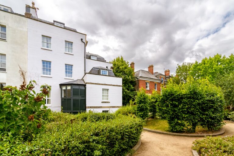
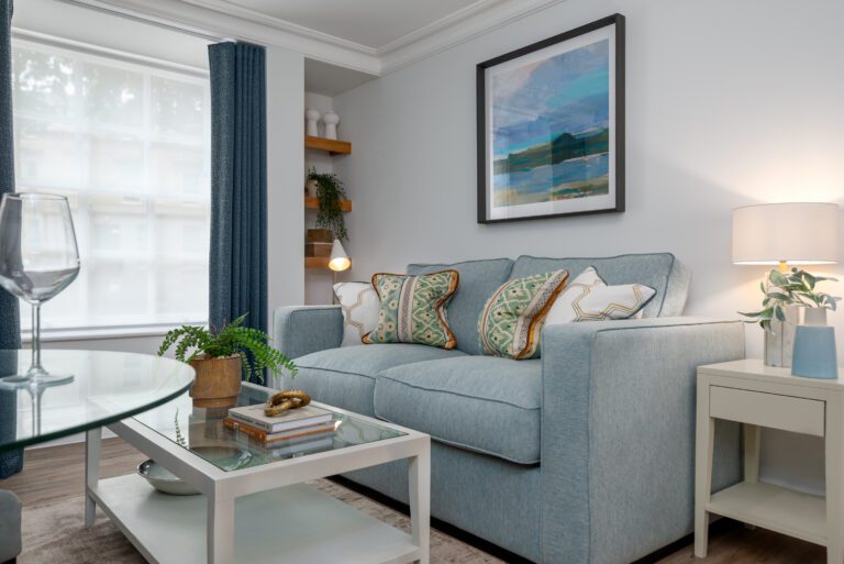
Studying here? You’ll find our 15 homes in and around Clifton, from the Clifton Triangle to Park Street. Every one is a short walk from the University of Bristol. For UWE, the m3 metrobus to Frenchay leaves from Broadmead, in the city centre (Google Maps, 2026). Urban Student has looked after University of Bristol students for more than 20 years.
Take a look at all our student homes in Bristol, or get in touch to ask about a room.



Are there areas to avoid in Bristol? Where to take more care
There are not any no-go areas in Bristol. Crime gathers where the crowds are: shopping streets, nightlife and the Harbourside. Take a little more care there. The Central ward records the city’s highest rate, at 438.0 crimes per 1,000 residents (data.police.uk, 2026). The eight highest, from the top down:
- Central: 438.0 crimes per 1,000 residents
- Hotwells and Harbourside: 299.6
- Lawrence Hill: 193.8
- Lockleaze: 176.7
- Hartcliffe and Withywood: 147.8
- Southville: 147.1
- Eastville: 145.2
- Ashley, which covers St Pauls, Stokes Croft and Montpelier: 142.6
A high rate doesn’t mean a whole ward is unsafe to walk through. Rates also count crimes against visitors, so a rate isn’t your own chance of being a victim. In some residential wards, such as Lawrence Hill and Hartcliffe and Withywood, the rate isn’t mainly about visitors. There, the after-dark survey figure is the better guide. A high rate says nothing about the people who live there. Southville and Eastville appear further down.
The city centre (Central ward)
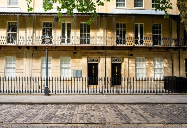
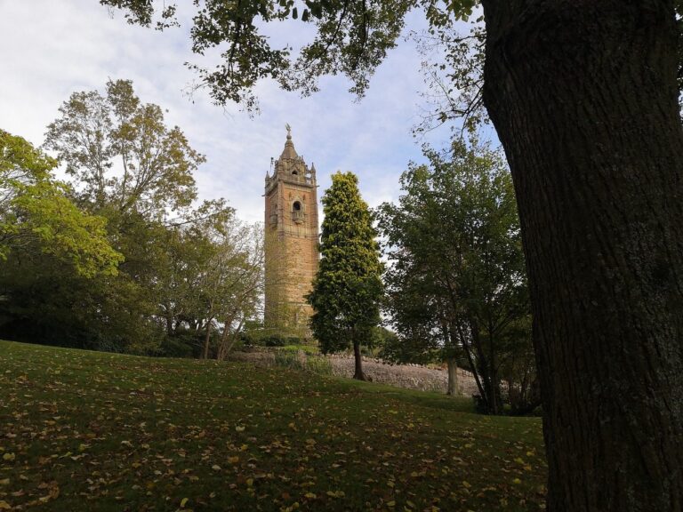
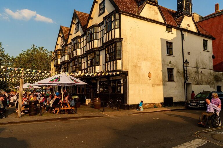
The short answer: Cobbled King Street, a 1664 pub and Queen Square’s Georgian houses sit minutes apart in Bristol’s busy heart (Bristol Film Office, 2026; Visit Bristol, 2026). By day, 85.1% of residents feel safe here, and just over half after dark (53.5%) (Bristol City Council, 2025). Take extra care around nightlife and busy shops.
Getting there: From Broadmead, the University of Bristol is about 15 minutes’ walk or 10 by bike (OpenStreetMap, 2026). The bus is no quicker: the 77 takes about 15 minutes (Google Maps, 2026).
Living there: Days here run on markets and theatre. St Nicholas Market has traded since 1743 and holds Bristol’s largest collection of independent retailers (Bristol City Council, 2026). On King Street, the Llandoger Trow is rumoured to have inspired the Admiral Benbow Inn in Treasure Island (Bristol Film Office, 2026). Bristol Old Vic has staged shows on King Street since 1766 (Bristol Film Office, 2026).
Expect noise late at night. The council limits new late licences in the centre because of the “significant concentration” of late-night venues (Bristol City Council, 2024). For green space, Queen Square has lawns, gravel paths and mature plane trees (Academy of Urbanism, 2026). Castle Park holds the remains of Bristol Castle and the bombed-out shell of St Peter’s Church (Bristol City Council, 2026). On Corn Street, look for the Nails: four bronze tables where merchants once paid for deals (Bristol Old City, 2026). The Nails gave us the phrase “pay on the nail”.
Best for: markets and theatre on the doorstep, if late-night noise won’t bother you.
The numbers: No ward records more crime per resident: 438.0 per 1,000, up 14% in three years (data.police.uk, 2026). Crowds of shoppers, visitors and people on nights out push the rate up, and they don’t count as residents. Fewer than one in 20 Bristol residents live here (4.5%). Yet the ward logs about one in six of the city’s incidents (16.4%). That count includes anti-social behaviour, such as noise or rowdiness in the street. It also records 23.1% of Bristol’s shoplifting and 12.2% of its violence and sexual offences.
Where does it happen? The busiest map point, with 1,078 incidents in a year, is on or near a nightclub (data.police.uk, 2026). Violence and sexual offences make up 31% of crime here, shoplifting 16% and public order 13%. Public order means offences such as threatening behaviour in the street. People who live in the ward still feel fairly safe. Their after-dark figure, 53.5%, is close to Bristol’s 56.4% (Bristol City Council, 2025).
For nights out, the centre has extra help. On Friday and Saturday nights, Bristol Safe Space at Night opens on the Central Promenade. Volunteers offer first aid and phone charging. They also hand out kits to test a drink for spiking, which means secretly adding drugs or alcohol to it (Bristol BID, 2026). The space isn’t an emergency service, so call 999 if someone is badly hurt.
Crime in Bristol’s student wards peaks in October. Those wards are Central, Clifton, Clifton Down, Cotham, Redland, and Hotwells and Harbourside, so the city centre is included. On an index where an average month scores 100, October scores 113 (data.police.uk, 2026). February is the quietest month, at 86. The index covers three years of police.uk data.
Hotwells and Harbourside
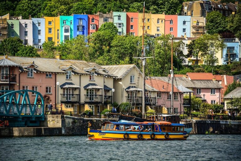
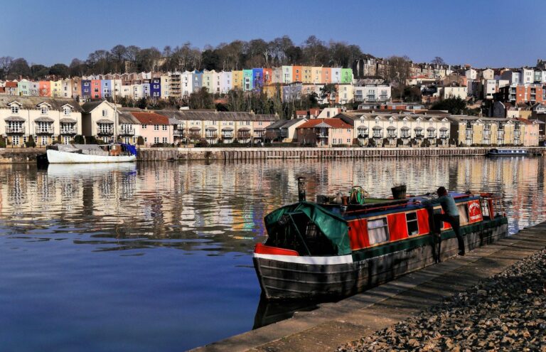
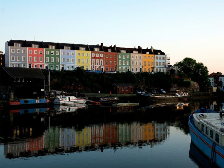
The short answer: Colourful houses cling to the hillside above the Floating Harbour, where boats moor beside waterside restaurants and bars (Bristol City Council, 2010; Visit Bristol, 2026). The ward is considered safe: 91.3% of residents feel safe by day, and 71.6% after dark (Bristol City Council, 2025). Nights get busier, so stay aware.
Getting there: The number 9 bus reaches Broadmead, in the city centre, in about 10 minutes (Google Maps, 2026). That beats the 40-minute walk, or about 15 by bike. The University of Bristol is about 25 minutes’ walk, 10 by bike or 20 on the X1 bus (OpenStreetMap, 2026; Google Maps, 2026). A waterbus ferry also stops at Mardyke and Cottage on the harbour, and runs a commuter service (Bristol Ferry, 2026).
Living there: Hotwells began as a spa resort. Dowry Square went up in 1721 to house visitors to the spa (Bristol City Council, 2010). On the hillside above Hotwells, the painted terraces of Cliftonwood give a sweeping view of the harbour (Visit Bristol, 2025). Nobody’s entirely sure when or why Cliftonwood’s houses were first painted.
The council’s 2010 appraisal called Hotwell Road, along the bottom of the hill, a heavily trafficked route (Bristol City Council, 2010). The harbour itself is the draw. Visit Bristol lists paddle boarding, rowing and windsurfing on the harbour (Visit Bristol, 2026). Across the water, Wapping Wharf has about 45 independent shops, bars and places to eat, some in converted shipping containers (Wapping Wharf, 2026; Visit Bristol, 2026). At Underfall Yard, a working boatyard, underground sluices still use harbour water pressure to flush out silt (Visit Bristol, 2021).
Best for: harbour views and a ferry ride into town.
The numbers: Residents here feel safer than the busy nightlife might make you think. Fear of crime affects daily life for 16.2%, below the city’s 24% (Bristol City Council, 2025).
Only the city centre has more crime per resident than Hotwells and Harbourside. Its rate is 299.6 per 1,000, up 27% in three years (data.police.uk, 2026). Much of the crime is on or near a nightclub, with 489 incidents, and the ferry terminal, with 278. Most people at both are visitors.
Why does the Harbourside feel safer than its rate suggests? The answer is who gets counted. Only about 6,600 people live there, so crimes among its many visitors push the rate up sharply (ONS via Nomis, 2025). The council’s survey asks only residents. Crime follows the crowds, not the homes.
Lawrence Hill and Easton

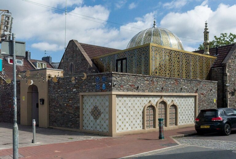

The short answer: Easton’s St Marks Road packs restaurants, independent shops and a landmark grocer into one small street (Visit Bristol, 2026; Visit Bristol, 2025). Daytime feels safe for most: 87.9% in Easton and 76.6% in Lawrence Hill. After dark, that falls to 45.6% and 31.2%, so take more care near car parks at night (Bristol City Council, 2025).
Getting there: Broadmead, in the city centre, is about 30 minutes’ walk or 15 by bike (OpenStreetMap, 2026). The number 49 bus does it in about 20. For the University of Bristol, cycling takes about 20 minutes, against about 30 by bus with one change (Google Maps, 2026). Stapleton Road station is about 5 minutes by train from Temple Meads (Visit Bristol, 2025).
Living there: St Marks Road is a Victorian street of brick terraces, pink paving and heritage bollards (Academy of Urbanism, 2026). In 2020, St Marks Road won a national Great Street Award, beating London’s Rye Lane and Leicester’s Belgrave Road. Bristol Sweet Mart has been an Easton landmark since 1978 (Visit Bristol, 2025). Sweet Mart stocks over 10,000 products (Academy of Urbanism, 2026).
Easton has a strong creative streak. Each September, the BS5 Art Trail opens artists’ homes, studios and community venues to anyone who wants to look (BS5 Art Trail, 2026). The trail grew out of the Easton Arts Trail, which ran most years from 2006 to 2019. If you’ve just moved in, it’s an easy way to get to know the area. On the edge of Lawrence Hill, Old Market was the site of Bristol’s earliest market place (Bristol City Council, 2008). Old Market has over 60 listed buildings (Bristol City Council, 2008).
Best for: independent food shops and a five-minute train to Temple Meads.
The numbers: Lawrence Hill records Bristol’s third-highest crime rate, at 193.8 per 1,000 residents, 2% lower than three years ago (data.police.uk, 2026). Its busiest map point, with 205 incidents, is on or near a car park. Many residents feel uneasy at night. Just 31.2% feel safe after dark, against 56.4% for Bristol as a whole (Bristol City Council, 2025).
Easton, next door, isn’t among the higher-crime wards. It ranks 19th of 34, at 116.8 crimes per 1,000, a little below the city rate (data.police.uk, 2026). The rate is up 14% in three years. Like its neighbour, Easton feels less safe after dark than Bristol as a whole: 45.6% against 56.4% (Bristol City Council, 2025). Wood Street and Bourne Lane are its busiest map points, with 105 and 87 incidents logged on or near them.
St Pauls, Stokes Croft and Montpelier (Ashley ward)
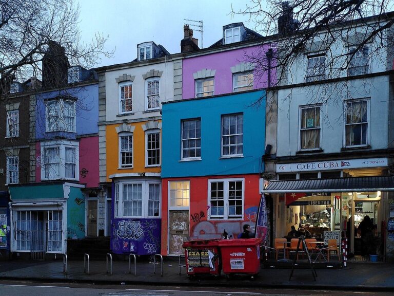

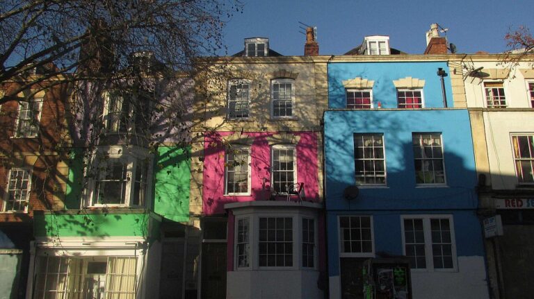

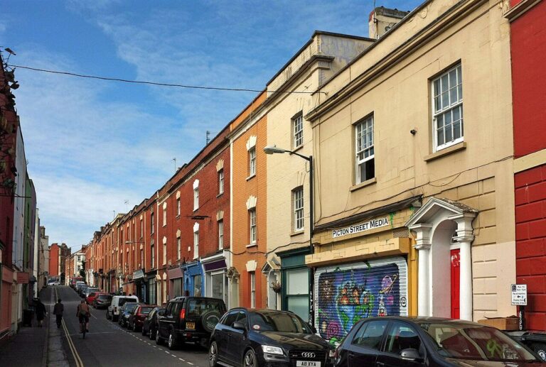

The short answer: Stokes Croft’s walls are an open-air gallery of ever-changing murals. Montpelier’s Picton Street has delis and cafés (Visit Bristol, 2026). By day, 83% of residents feel safe, and just under half do after dark (49.3%) (Bristol City Council, 2025). At night, stay alert around Bond Street, near Cabot Circus.
Getting there: Broadmead, in the city centre, is about 15 minutes’ walk or 8 minutes by bike (OpenStreetMap, 2026). The University of Bristol takes longer. Allow about 25 minutes on foot, 10 by bike or 20 on the number 5 bus (OpenStreetMap, 2026; Google Maps, 2026). Montpelier has its own small station, a single-storey building of Pennant stone (Bristol City Council, 2008).
Living there: Montpelier has a village feel (Bristol City Council, 2008). Picton Street is a lively little shopping street, with three-storey red-brick terraces running unbroken down both sides. Artists and alternative shops give the street its “bohemian” air, says the council (Bristol City Council, 2008). St Andrews Park is a classic Victorian park with a bowling green and a summer paddling pool (Bristol City Council, 2026).
Late nights can be loud along Stokes Croft, where many late-night venues sit close together on the main road (Bristol City Council, 2024). Portland Square, in St Pauls, is the only Grade I listed square in Bristol (Bristol City Council, 2008). Grade I is the top heritage grade. Portland Square’s “wedding cake” church is now a working circus school (Circomedia, 2026). St Pauls Carnival, first held in 1968, did not run at full scale in 2026 (St Pauls Carnival, 2026; Visit West, 2026). Carnival organisers aim for a full return in 2027.
Best for: street art and gigs, 15 minutes’ walk from Broadmead.
The numbers: The three neighbourhoods share Ashley ward, which recorded 142.6 crimes per 1,000 residents, eighth highest in Bristol (data.police.uk, 2026). With anti-social behaviour added, it’s 174.4. Over three years, the crime rate is up 18%. Crime gathers most on or near Bond Street, where one map point logged 234 incidents. After dark, 49.3% of residents feel safe, below the 56.4% for Bristol as a whole (Bristol City Council, 2025).
Lockleaze
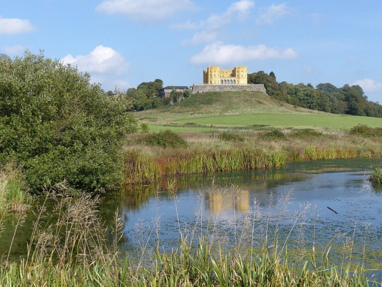
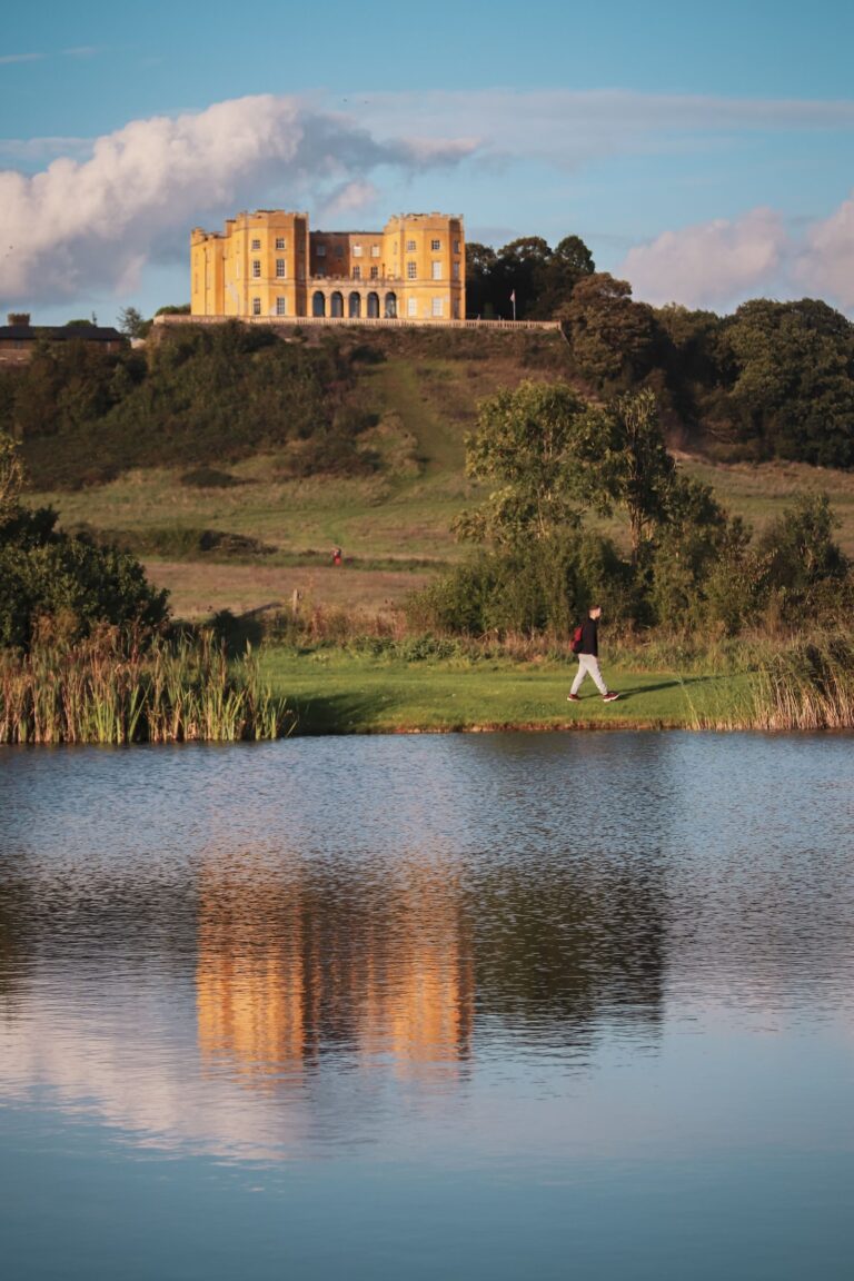
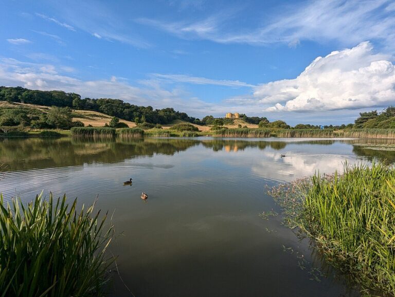

The short answer: Lockleaze is flanked by two large green spaces: Stoke Park, with its yellow Dower House, and the meadows of Purdown (Bristol City Council, 2026; RSPB Bristol Local Group, 2026). Daytime feels safe for most residents (78.5%), and fewer than half say the same after dark (47.9%) (Bristol City Council, 2025). Take care near the shopping area and car park at night.
Getting there: The number 77 bus from Gainsborough Square serves both the city centre and the University of Bristol (Google Maps, 2026). It takes about 30 minutes to Broadmead and 35 to the University. By bike, each is about 25 minutes (OpenStreetMap, 2026). Ashley Down station, nearby, has hourly trains to Temple Meads (GWR, 2026).
Living there: Stoke Park is open at all times, but has no car park of its own. Its 100-plus hectares hold three waymarked walks, a sculpture trail, an outdoor gym and a fishing lake, Duchess Pond (Bristol City Council, 2026). Glow worms live in Stoke Park, alongside great crested newts and dragonflies. Cattle and goats graze parts of the park to keep scrub down and help the wildflowers (Bristol City Council, 2026).
Purdown, close by, has panoramic views of Bristol and a wildflower meadow (RSPB Bristol Local Group, 2026). Purdown’s old wartime gun battery now houses goats. The steps up to Purdown from Muller Road are uneven, but a level path runs from St John’s Lane (RSPB Bristol Local Group, 2026). Back on Gainsborough Square, the community Hub lends out equipment, from litter-pickers to disco headphones (Lockleaze Neighbourhood Trust, 2026).
Best for: two big green spaces within walking distance.
The numbers: Lockleaze records 176.7 crimes per 1,000 residents, fourth highest in Bristol and up 13% over three years (data.police.uk, 2026). Three of its four busiest map points sit on or near a car park, a shopping area and a supermarket. The one on or near the car park logged 324 incidents. Shoplifting makes up 20% of crime, and violence and sexual offences 40%. After dark, 47.9% of residents feel safe, against 56.4% across Bristol (Bristol City Council, 2025).
Hartcliffe and Withywood
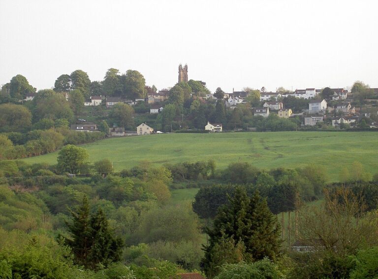

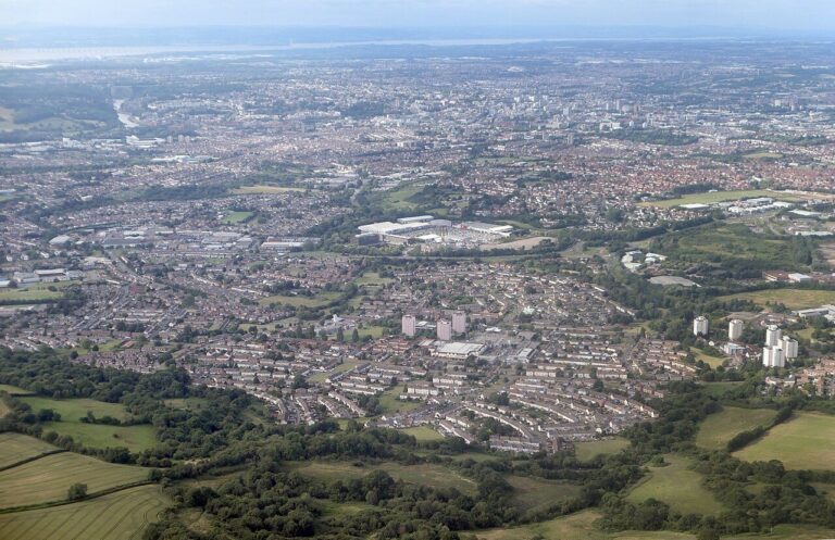

The short answer: Hartcliffe and Withywood sit below the Dundry Slopes, where hilltop views run 35 miles to the Malverns (Avon Wildlife Trust, 2026). By day, 69.4% of residents feel safe. After dark it’s 38.2%, so be watchful around The Groves and Grange Road (Bristol City Council, 2025).
Getting there: It’s a longer trip from here. Broadmead, in the city centre, and the University of Bristol are each about 35 minutes by bike (OpenStreetMap, 2026). The number 76 bus reaches Broadmead in about 50 minutes, and the University takes about the same with one change (Google Maps, 2026).
Living there: Hartcliffe City Farm is free to visit and open daily, with goats, pigs, chickens and a café in the barn (Hartcliffe City Farm, 2026). The farm grows flowers, too. Behind the farm’s animal pens, a 16-person wood-fired sauna sits in a woodland glade, with a cold plunge (Hartcliffe City Farm, 2026).
Hartcliffe’s trade-off is distance from the centre. Withywood Park has a skate and BMX area, a ball court and a play mound with a high twisty slide (Bristol City Council, 2026). Up on the Dundry Slopes, look out for bluebells, brimstone butterflies and traces of Roman roads (Avon Wildlife Trust, 2026).
Best for: open country and big views, if a longer trip into town is fine.
The numbers: Hartcliffe and Withywood now records less crime than it did three years ago. Its rate has dropped 13%, the joint-largest fall in Bristol, though it still ranks fifth highest at 147.8 per 1,000 (data.police.uk, 2026). Violence and sexual offences make up 54% of crime, joint highest of any ward. The busiest map points are on or near The Groves and Grange Road, with 178 and 165 incidents. After dark, 38.2% of residents feel safe, well below Bristol’s 56.4% (Bristol City Council, 2025).
Every Bristol ward ranked
Looking for your own ward? The table ranks all 34, from Stoke Bishop at 51.3 crimes per 1,000 residents to Central at 438.0 (data.police.uk, 2026). Beside each rate, you’ll see the share of residents who feel safe after dark and by day (Bristol City Council, 2025).
Each rate is a year of police.uk crimes, without anti-social behaviour, set against the ward’s population (ONS via Nomis, 2025).
| Rank | Ward | Crimes per 1,000 | Feel safe after dark | Feel safe by day |
|---|---|---|---|---|
| 1 | Stoke Bishop | 51.3 | 73.8% | 97.3% |
| 2 | St George Troopers Hill | 51.6 | 64.6% | 88.9% |
| 3 | Redland | 58.0 | 78.2% | 98.2% |
| 4 | Clifton | 58.2 | 81.9% | 98.6% |
| 5 | Cotham | 62.0 | 75.6% | 97.6% |
| 6 | Windmill Hill | 64.8 | 62.7% | 91.6% |
| 7 | Westbury-on-Trym and Henleaze | 66.2 | 79.6% | 98.8% |
| 8 | Knowle | 77.8 | 63.0% | 90.5% |
| 9 | Bishopston and Ashley Down | 78.8 | 74.6% | 97.2% |
| 10 | Bedminster | 83.0 | 70.1% | 95.1% |
| 11 | Brislington East | 90.8 | 50.7% | 86.6% |
| 12 | Clifton Down | 91.4 | 75.6% | 97.3% |
| 13 | Hillfields | 91.9 | 43.5% | 80.0% |
| 14 | Hengrove and Whitchurch Park | 97.6 | 36.0% | 79.6% |
| 15 | Brislington West | 99.5 | 67.9% | 89.6% |
| 16 | St George Central | 109.8 | 46.8% | 82.9% |
| 17 | Stockwood | 112.2 | 45.1% | 84.9% |
| 18 | Bishopsworth | 116.7 | 47.0% | 82.2% |
| 19 | Easton | 116.8 | 45.6% | 87.9% |
| 20 | Frome Vale | 117.2 | 66.7% | 90.1% |
| 21 | Avonmouth and Lawrence Weston | 117.5 | 60.3% | 86.2% |
| 22 | Filwood | 118.6 | 25.2% | 65.0% |
| 23 | Henbury and Brentry | 119.6 | 39.6% | 80.8% |
| 24 | Southmead | 119.8 | 47.0% | 79.0% |
| 25 | Horfield | 131.9 | 65.8% | 89.8% |
| 26 | St George West | 137.6 | 47.9% | 90.1% |
| 27 | Ashley | 142.6 | 49.3% | 83.0% |
| 28 | Eastville | 145.2 | 46.0% | 79.7% |
| 29 | Southville | 147.1 | 65.2% | 88.2% |
| 30 | Hartcliffe and Withywood | 147.8 | 38.2% | 69.4% |
| 31 | Lockleaze | 176.7 | 47.9% | 78.5% |
| 32 | Lawrence Hill | 193.8 | 31.2% | 76.6% |
| 33 | Hotwells and Harbourside | 299.6 | 71.6% | 91.3% |
| 34 | Central | 438.0 | 53.5% | 85.1% |
Rank 1 is the lowest rate. Crimes exclude anti-social behaviour. City-centre rates count crimes against visitors and shoppers, not only residents. Sources: crime, data.police.uk, September 2025 to August 2026; population, ONS mid-2024; feeling safe after dark and by day, Bristol City Council Quality of Life survey 2024/25.
Violence and sexual offences lead almost everywhere. Shoplifting leads in only two wards, Westbury-on-Trym and Henleaze, and Bishopsworth (data.police.uk, 2026). In both, map points on or near supermarkets are among the busiest. How safe a ward feels doesn’t simply follow its rate.
Want to look for yourself? The police.uk crime map shows recent reported crime near any Bristol street. It maps police neighbourhoods rather than wards, and locations are approximate, so its totals won’t match ours exactly (data.police.uk, 2026).
How safe does each area feel?
A crime rate can’t tell you how a street feels on the walk home. Picture your first Friday in Bristol. You and a friend have spent the evening in a bar by the busy, loud harbour. Near midnight, you walk home together up Park Street towards Clifton, past the last of the bars. Then the crowds thin. By the quiet Georgian terraces, you can hear your own footsteps.
If you’re a parent far away, your child’s walk home late at night is probably your biggest worry. Walking with a friend, on main and well-lit roads, is a good habit anywhere. Across Bristol, close to nine in ten residents feel safe in their own area by day (86.6%) (Bristol City Council, 2025). After dark, it’s just over half (56.4%). Women feel less safe at night than men: fewer than half (48.7%), against nearly two in three (64.7%). Among 16 to 24 year olds, it’s 50.3%, no different from the city as a whole. In Clifton, Redland and Cotham, though, at least three in four residents feel safe after dark.
So how does your area compare? The chart below ranks all 34 wards by the share of residents who feel safe there after dark. Clifton comes top, at 81.9%. The blue bar shows Bristol as a whole, at 56.4% (Bristol City Council, 2025). Areas popular with students are dark blue. If you’ll often walk home late, check your area’s bar as well as its crime rate.
In wards above the Bristol bar, more residents feel safe at night than across the city. Bars within a few points of it are roughly level.
At the other end of the chart is Filwood, where about one in four residents feel safe after dark (25.2%). Lawrence Hill (31.2%) and Hengrove and Whitchurch Park (36.0%) come next (Bristol City Council, 2025). Filwood and Hengrove and Whitchurch Park both record less crime than the city as a whole. Yet many residents there feel uneasy after dark. The survey can’t say why. That unease is real, and no statistic should talk anyone out of it.
If a street, park or path ever makes you feel unsafe, you can tell the police through StreetSafe. You can do it anonymously (Avon and Somerset Police, 2026). In immediate danger, call 999.
Bristol residents feel safer on their own streets than in the crowded city centre. Asked about the centre, 72.2% feel safe there by day (Bristol City Council, 2025). After dark, it’s 31.5%, fewer than one in three. That’s a different question from how Central ward residents rate their own area, where 53.5% feel safe after dark.
Is my area safe? Every other area, one by one
Most of Bristol sits between the quietest wards and the busiest. In this section, rates run from 64.8 crimes per 1,000 in Windmill Hill to 147.1 in Southville (data.police.uk, 2026). On the same measure, the city as a whole records 126.8.
Clifton Down and Whiteladies Road
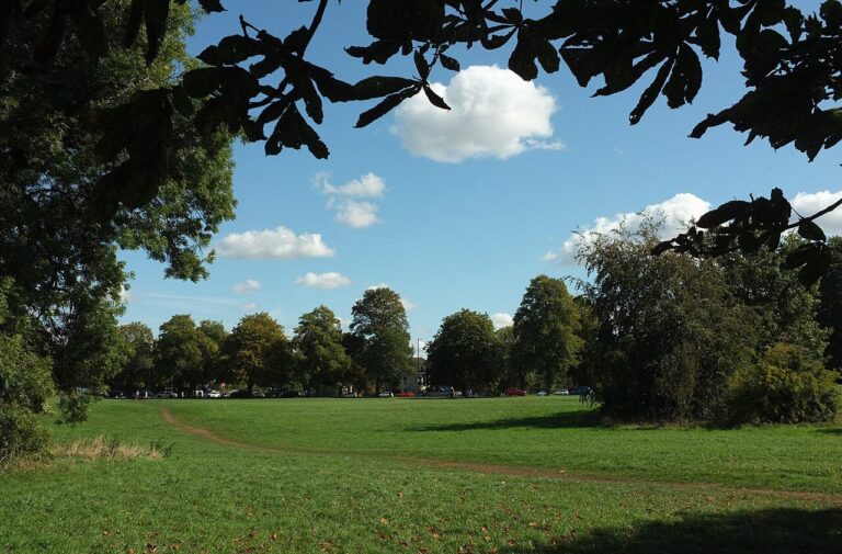

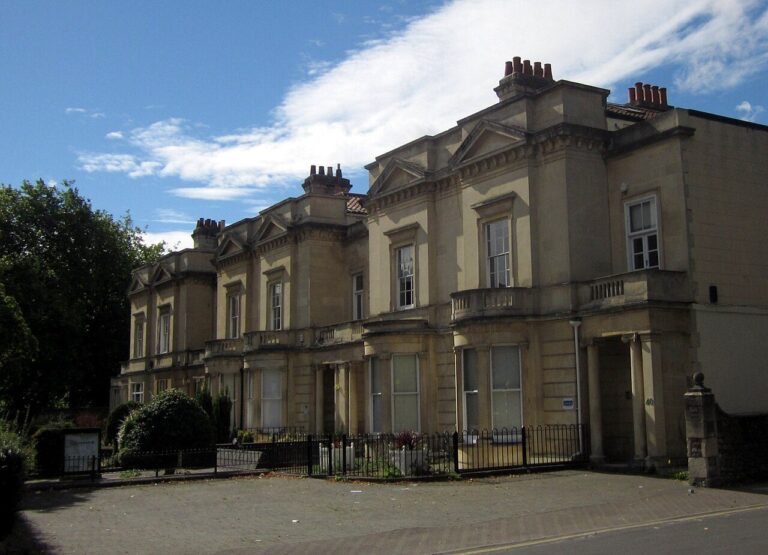

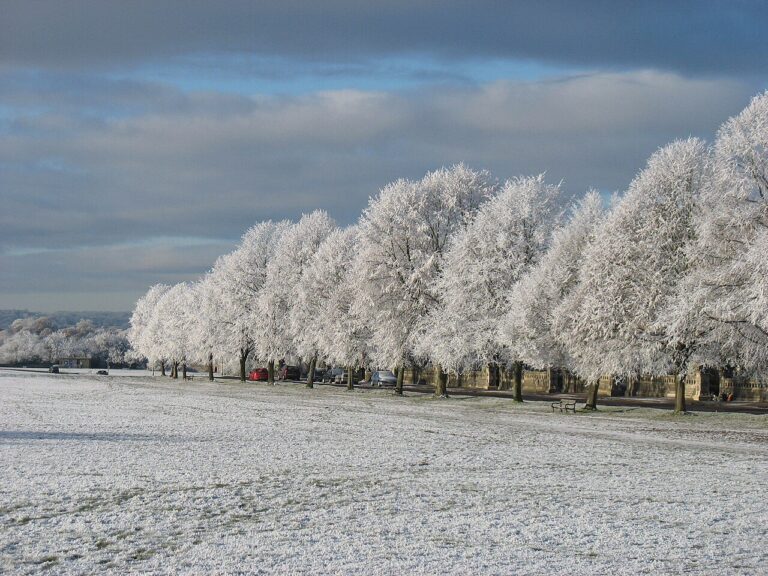

The short answer: Whiteladies Road rises for about a mile from town towards the Downs, lined with plane trees, bars and restaurants (Visit Bristol, 2026; Bristol City Council, 1990s). Clifton Down is considered very safe. By day, 97.3% of residents feel safe (Bristol City Council, 2025).
Getting there: The University of Bristol is about 15 minutes’ walk, or 6 minutes by bike (OpenStreetMap, 2026). Broadmead, in the city centre, is about 25 minutes on foot or 10 by bike (OpenStreetMap, 2026). The number 71 bus takes about 15. The number 1 bus gets to the University in under 10 (Google Maps, 2026). Clifton Down station sits on the Severn Beach line, which has run through here since 1874 (TravelWest, 2026; Bristol City Council, 2011).
Living there: Whiteladies Road Market runs every Saturday from 8.30am to 2pm, with seasonal food from local traders (Visit Bristol, 2026). The Everyman cinema now runs the 1921 Whiteladies Picture House (Everyman, 2026). The road has a downside, though. A 1990s council study called Whiteladies Road and Blackboy Hill “heavily congested by commuter traffic”, with parking at capacity (Bristol City Council, 1990s).
Bristol Lido, a short walk away behind the Victoria Rooms, first opened in 1850 and offers year-round outdoor swimming (Bristol Lido, 2020; Visit Bristol, 2026). Whiteladies Road has a place in wildlife television history. The BBC’s Natural History Unit was based on Whiteladies Road from its start in 1957 (TVBEurope, 2021). Near the top, Blackboy Hill has the feel of a small town, with one unbroken row of shopfronts (Bristol City Council, 1990s).
Best for: a Saturday market, a cinema and bars along one road.
The numbers: Clifton Down’s crime rate has risen. At 91.4 crimes per 1,000 residents, it’s up 34% in three years from 68.1, the joint-largest rise in Bristol (data.police.uk, 2026). So what changed? Most of the rise comes from shoplifting on Whiteladies Road and Blackboy Hill, and from one car park. A map point on or near that car park is now the ward’s busiest, with 113 incidents. Shoplifting makes up 15% of crime here, and vehicle crime 17%. Violence and sexual offences, at 24%, take a smaller share than in most wards.
Most residents still feel safe after dark: 75.6%, the same share as in Cotham (Bristol City Council, 2025). That’s well above the 56.4% for Bristol as a whole.
Bedminster, Southville and Windmill Hill
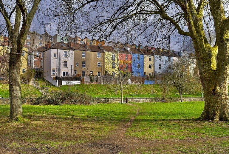

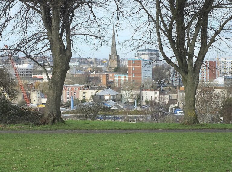

The short answer: North Street’s independent cafés and bars fill a valley floor of Victorian shopfronts, just south of the river (Visit Bristol, 2026; Bristol City Council, 2013). All three wards are considered safe. Bedminster is considered very safe. By day, 95.1% of residents feel safe in Bedminster, 91.6% in Windmill Hill and 88.2% in Southville (Bristol City Council, 2025).
Getting there: The number 25 bus from Greville Road is the easy option. It reaches Broadmead, in the city centre, in about 25 minutes and the University of Bristol in about 30 (Google Maps, 2026). Walking to either takes about 40 minutes; cycling, about 15 (OpenStreetMap, 2026). Parson Street station, at the Bedminster end, opened in 1927, and no new Bristol station followed for 96 years (TravelWest, 2026).
Living there: Sunday is market day. The Tobacco Factory’s Sunday Market, on Raleigh Road, has up to 60 stalls of street food and local goods (Tobacco Factory, 2026). Over on East Street, family butchers, bakeries and delis line the pavement (Visit Bristol, 2026). Bedminster was once coal country, with at least 15 pits by the early 1820s (Bristol City Council, 2013).
The council admits Victoria Park is “very hilly” (Bristol City Council, 2026). The park rewards the effort with views right over the city, plus a marked 1,700m route and a café (Visit Bristol, 2026; Bristol City Council, 2026). Windmill Hill City Farm, a 4.5-acre green space, dates back to the 1970s (Windmill Hill City Farm, 2026). Totterdown, part of Windmill Hill ward, has brightly painted houses and Vale Street, reportedly the steepest residential street in England (TRESA, 2026; Visit Bristol, 2026).
Best for: a lively high street and a Sunday market.
The numbers: Windmill Hill records the least crime of the three, at 64.8 per 1,000 residents, sixth lowest in Bristol (data.police.uk, 2026). Once it’s dark, 62.7% of its residents feel safe, a little above Bristol’s 56.4% (Bristol City Council, 2025).
Bedminster feels safer than Windmill Hill, even though its rate is higher. At 83.0 per 1,000, it is still 10th lowest in Bristol, and 4% down in three years (data.police.uk, 2026). After dark, 70.1% of residents feel safe. That’s well above the figure for Bristol as a whole (Bristol City Council, 2025).
Southville, home to North Street, is busier than its neighbours. At 147.1 crimes per 1,000, it ranks sixth highest, and 314 incidents were logged on or near a supermarket (data.police.uk, 2026). The rate has fallen 11% in three years, one of the city’s biggest drops. After dark, 65.2% of residents feel safe, more than in Bristol as a whole (Bristol City Council, 2025).
Bishopston, Ashley Down and Horfield
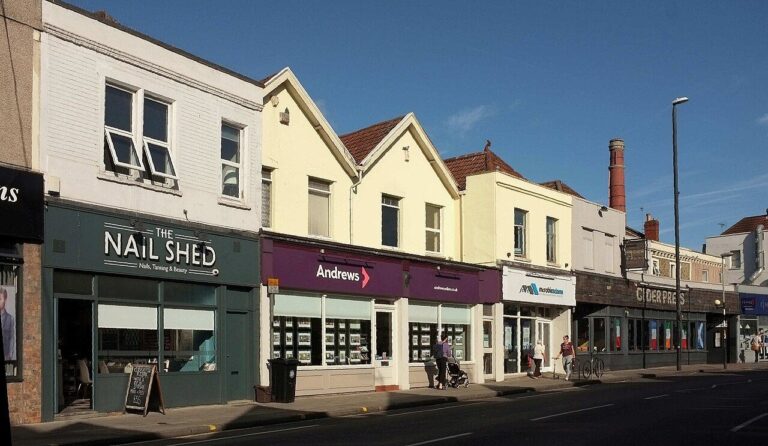

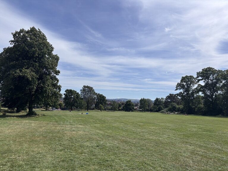

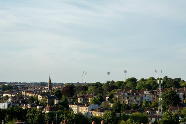
The short answer: Gloucester Road, one of the longest streets of independent shops in Europe, bends through Bishopston and on into Horfield (Visit Bristol, 2026). Both wards are considered safe. Bishopston and Ashley Down is considered very safe. By day, 97.2% feel safe in Bishopston and Ashley Down, and 89.8% in Horfield (Bristol City Council, 2025).
Getting there: By bus, the University of Bristol and Broadmead are each about 20 minutes away, on the 77 and the 74 (Google Maps, 2026). Cycling is quicker, at about 15. Walking to either takes about 35 minutes (OpenStreetMap, 2026). Ashley Down station opened in 2024, and Temple Meads is just 12 minutes away by train (Network Rail, 2025).
Living there: Why does Gloucester Road curve so much? The road follows Cutlers Mill Brook, a stream that now flows hidden underground (Bristol City Council, 2017). Along the way, you’ll pass vintage shops, bakeries and pubs, plus venues for live music, board games and comedy nights (Visit Bristol, 2026). Side streets of bay-fronted terraces lead off the main road (Bristol City Council, 2017).
A 2017 council appraisal noted narrow pavements, heavy traffic and poor air quality on Gloucester Road (Bristol City Council, 2017). Sport is on the doorstep. Bristol Rovers play football at the Memorial Stadium, and county cricket is played nearby (Visit Bristol, 2026). The stadium opened in 1921 as the Memorial Ground, on a site once known as “Buffalo Bill’s Field” (World Rugby Museum, 2015). On Ashley Down, five huge grey stone buildings once housed 2,050 orphaned children (Visit Bristol, 2021). Horfield Common has a café, a wildlife pond and marked walking or running routes of 500m, 1km and 5km (Bristol City Council, 2026).
Best for: shopping local, on a long street of independent shops.
The numbers: Both wards feel safer than Bristol as a whole after dark. Bishopston and Ashley Down records 78.8 crimes per 1,000 residents, the ninth-lowest rate in Bristol (data.police.uk, 2026). Map points on or near the prison and Gloucester Road logged 159 and 64 incidents over the year. After dark, 74.6% feel safe, against 56.4% across the city (Bristol City Council, 2025).
Horfield’s rate has risen. It is up 29% in three years, the third-largest rise in Bristol, to 131.9 per 1,000 (data.police.uk, 2026). That’s a little above the city rate. The busiest map point, with 355 incidents, is on or near a hospital. Even so, 65.8% of residents feel safe after dark, above the figure for Bristol as a whole (Bristol City Council, 2025).
Westbury-on-Trym and Henleaze
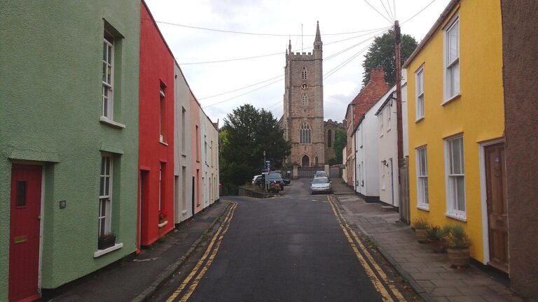

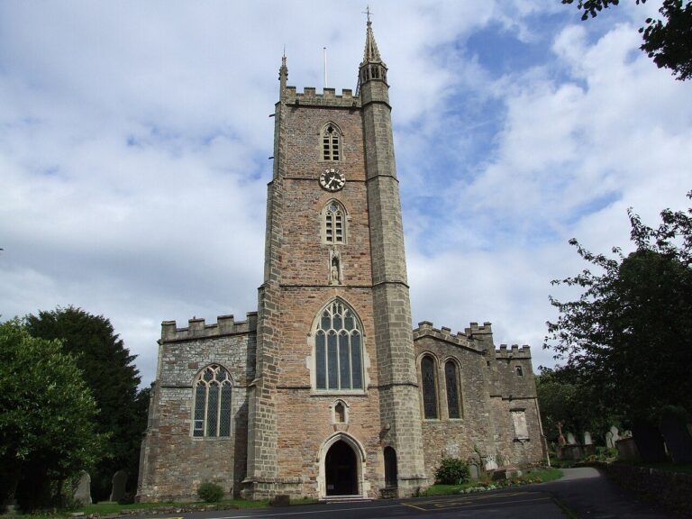

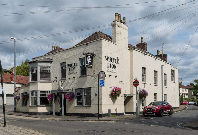

The short answer: Westbury-on-Trym’s cottages and narrow lanes are tucked into the green valley of the River Trym (Bristol City Council, 2015). Westbury-on-Trym and Henleaze ward is considered very safe. By day, 98.8% of residents feel safe, the highest share in Bristol (Bristol City Council, 2025).
Getting there: The number 1 bus from Westbury village runs to both the University of Bristol and Broadmead (Google Maps, 2026). Allow about 25 minutes to the University and 40 to the city centre. By bike, it’s about 20 and 25 minutes (OpenStreetMap, 2026).
Living there: Westbury-on-Trym is older than Bristol itself. A place of worship has stood on the Holy Trinity site since 717, and today’s church dates from 1194 (Bristol City Council, 2015). The War Memorial, where four roads meet, is the heart of the village. The High Street is a traditional village shopping street, though the council’s 2015 appraisal flagged traffic and “rat-running” along it (Bristol City Council, 2015).
Canford Park has a sunken garden with a lily pond, rose beds, a bowling green and tennis courts (Parks & Gardens UK, 2026). Henleaze Lake, an old quarry, has been a swimming spot since 1919. Today it’s run as a members’ club (Henleaze Swimming Club, 2026). Local volunteers have cleared over 160 tonnes of rubbish from the River Trym, and brown trout have been spotted (Avon Wildlife Trust, 2026).
Best for: a village pace and riverside walks.
The numbers: Next door to Stoke Bishop, Westbury-on-Trym and Henleaze share one of Bristol’s larger wards. Recorded crime is low: the ward ranks seventh lowest, at 66.2 per 1,000 residents (data.police.uk, 2026). Unusually, shoplifting leads, at 31% of crime against 22% for violence and sexual offences. Waterford Road is the busiest spot on the map, with 276 incidents logged on or near it. After dark, 79.6% feel safe, second only to Clifton (Bristol City Council, 2025).
Knowle, Filwood and Hengrove
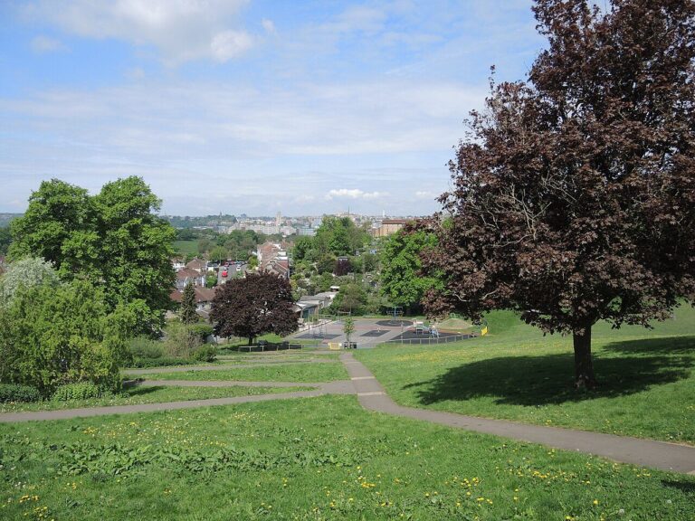

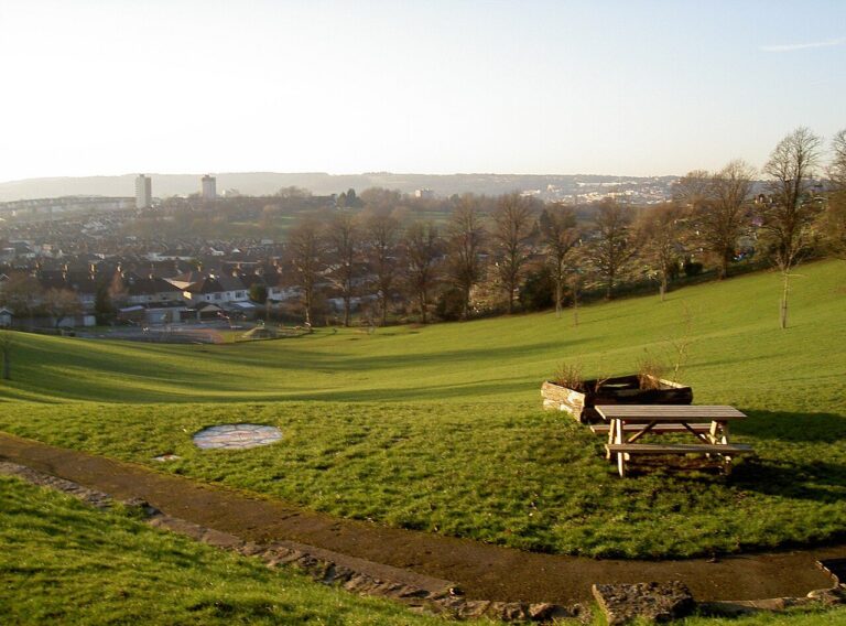

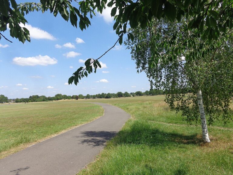

The short answer: The Northern Slopes are old farmland turned meadows and woods, with spectacular views across the city (Bristol City Council, 2026). Knowle is considered safe (90.5% by day). Most residents also feel safe in Filwood (65%) and Hengrove and Whitchurch Park (79.6%) in the daytime. After dark it’s 25.2% and 36%, so plan your route home with more care (Bristol City Council, 2025).
Getting there: Both the city centre and the University of Bristol are about 25 minutes away by bike (OpenStreetMap, 2026). From Greenmore Road, the 2a bus reaches Broadmead in about 25 minutes. The 376 gets to the University in about 30 (Google Maps, 2026).
Living there: The Northern Slopes are really three sites, including Wedmore Vale, known locally as “the Bommie” (Bristol City Council, 2026). The slopes became wartime allotments. The easiest way in is a path to a viewpoint beside St Barnabas Church, on Daventry Road. Paths are steep, so access for wheelchairs and buggies is limited (Bristol City Council, 2026).
Knowle West was laid out on rural land as a “Garden City” (Knowle West, 2026). Filwood Broadway’s cinema building dates from 1938 (Knowle West, 2026). On the edge of Knowle, Perrett’s Park sits in a natural bowl, with views west and north from its terraces (Parks & Gardens UK, 2026). Hengrove Park has a large adventure playground, a wheels park for bikes and skateboards, and a weekly car boot sale (Bristol City Council, 2026).
Best for: city views from the slopes, and plenty of park space.
The numbers: In Knowle, crime is falling. The ward records 77.8 crimes per 1,000 residents, eighth lowest in Bristol and down 11% in three years (data.police.uk, 2026). After dark, 63% feel safe, a little above Bristol as a whole (Bristol City Council, 2025).
In Filwood, how people feel and what the crime figures show don’t match. Its rate is below the city’s, at 118.6 crimes per 1,000 (data.police.uk, 2026). Yet Filwood has Bristol’s lowest share of residents feeling safe after dark, just 25.2% (Bristol City Council, 2025). Its daytime share is the lowest in the city too. Violence and sexual offences make up 54% of crime.
Hengrove and Whitchurch Park is similar to Filwood. Its rate is 97.6 per 1,000, 14th lowest, so crime there is lower than in most wards (data.police.uk, 2026). In the council’s survey, just 36.0% of residents feel safe after dark, well below Bristol’s 56.4% (Bristol City Council, 2025).
Brislington, St Anne’s and Stockwood
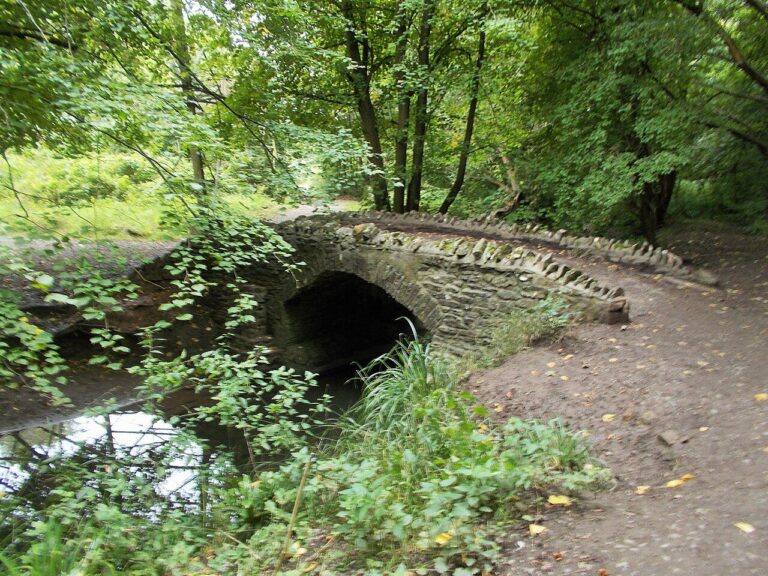

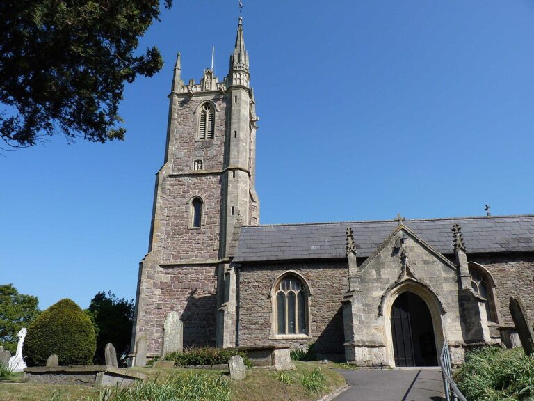

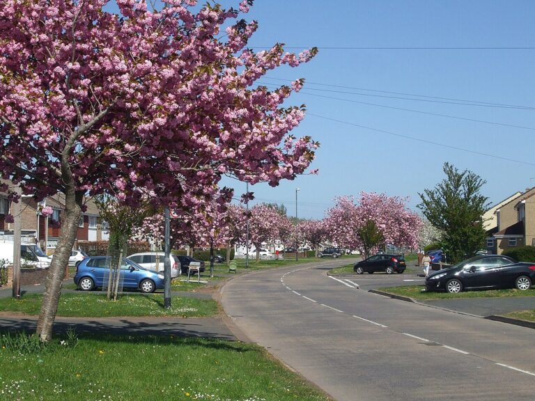

The short answer: Pantiled cottages and stone walls line the brook at the heart of Brislington (Bristol City Council, 1990s). Brislington West is considered safe: 89.6% of residents feel safe by day. Most do in Brislington East (86.6%) and Stockwood (84.9%) as well. At night, 50.7% feel safe in Brislington East and 45.1% in Stockwood. Take more care around Lanes End after dark (Bristol City Council, 2025).
Getting there: The number 1 bus links this area with both Broadmead and the University of Bristol. It takes about 30 minutes to the centre and 35 to the University (Google Maps, 2026). Cycling, allow about 25 and 30 minutes (OpenStreetMap, 2026).
Living there: The busy A4 Bath Road runs through Brislington (Bristol City Council, 1990s). Away from the main road, Brislington village centres on St Luke’s Church, built around 1420 (Bristol City Council, 1990s). Two streets, Hollywood Road and Church Hill, run either side of Brislington Brook past cottages, shops and pubs. Brislington once had a nickname: “the prettiest village in Somerset” (Brislington Conservation and History Society, 2026).
In St Anne’s, a trail of nine brass-rubbing plaques follows the brook through St Anne’s Wood and Nightingale Valley (Greater Brislington Together, 2026; Bristol City Council, 2026). Royalty once came to St Anne’s. King Henry VII twice visited a medieval chapel in St Anne’s Wood (Brislington Conservation and History Society, 2026). Roe deer breed on the quiet upper slopes of Callington Road Nature Reserve (Bristol City Council, 2026). Further out, Stockwood Open Space is a nature reserve of meadows, ponds and woodland, with tarmac paths for wheelchairs (Bristol City Council, 2026).
Best for: woodland trails and a straight bus ride into town.
The numbers: Brislington is split into two wards, East and West. The two feel quite different after dark. Brislington East has the lower rate, 90.8 crimes per 1,000, but it’s up 11% in three years (data.police.uk, 2026). In Brislington West, the rate is 99.5, yet 67.9% feel safe after dark, against 50.7% in Brislington East (Bristol City Council, 2025). Shoplifting makes up 14% of crime there, and a map point on or near a supermarket logged 159 incidents.
Stockwood, further out, records 112.2 per 1,000 (data.police.uk, 2026). A map point on or near Lanes End logged 383 incidents. Violence and sexual offences make up 54% of crime, and public order offences 15%. After dark, 45.1% of residents there feel safe, below the 56.4% for Bristol as a whole (Bristol City Council, 2025).
St George Central and West
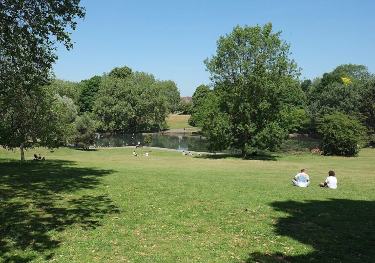

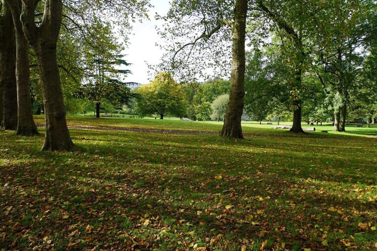

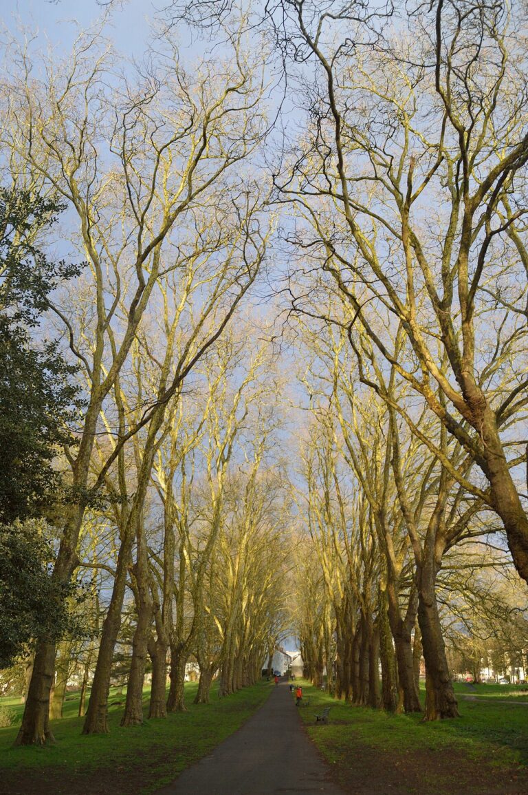

The short answer: St George’s busy high street, Church Road, follows the old road to London, past restaurants, pubs and a big park (Visit Bristol, 2026; Bristol & Avon Family History Society, 2026). By day, St George West is considered safe (90.1%), and most feel safe in St George Central (82.9%). After dark, it’s under half (47.9% and 46.8%) (Bristol City Council, 2025). At night, be more careful around Bell Hill Road and Trelawney Avenue.
Getting there: Broadmead, in the city centre, is about 20 minutes by bike or 25 on the number 41 bus (OpenStreetMap, 2026; Google Maps, 2026). For the University of Bristol, cycling takes about 25 minutes. The bus takes about 40, with a change (Google Maps, 2026).
Living there: Church Road is a high street people walk to. In a council survey, 87% of people arrived on foot, and most came more than once a week (Bristol City Council, 2022). The road itself is busy. In the council’s Church Road survey, traffic and litter were the biggest issues people raised (Bristol City Council, 2022). Along it, you’ll find a bookshop, a record shop, a bakery and a pub with a rooftop terrace (Visit Bristol, 2026).
St George Park is a large late-Victorian park with a lake, a wooded island and an avenue of plane trees (Bristol City Council, 2026; Parks & Gardens UK, 2026). The park also has a café kiosk, a big wheels park and tennis courts (Bristol City Council, 2026). St George only joined Bristol in 1897 (Bristol & Avon Family History Society, 2026). For a wilder walk, Troopers Hill and the riverside paths of Conham River Park are nearby (Bristol City Council, 2026; Visit Bristol, 2026).
Best for: a walkable high street and a big park with a lake.
The numbers: St George Central has one of the larger rises in Bristol, up 23% in three years. It now records 109.8 crimes per 1,000 residents, still below the rate for Bristol as a whole (data.police.uk, 2026). Shoplifting makes up 25% of crime. The busiest map points sit on or near Bell Hill Road and May Street. After dark, 46.8% of residents feel safe, below Bristol’s 56.4% (Bristol City Council, 2025).
St George West has a higher rate, 137.6 per 1,000, ninth highest in the city (data.police.uk, 2026). A map point on or near Trelawney Avenue logged 236 incidents, and shoplifting accounts for 22%. St George West’s after-dark share is barely different from St George Central’s (Bristol City Council, 2025). St George Troopers Hill, Bristol’s second-lowest ward, is close by. Crime can change a lot from one ward to the next.
Eastville, Frome Vale and Hillfields
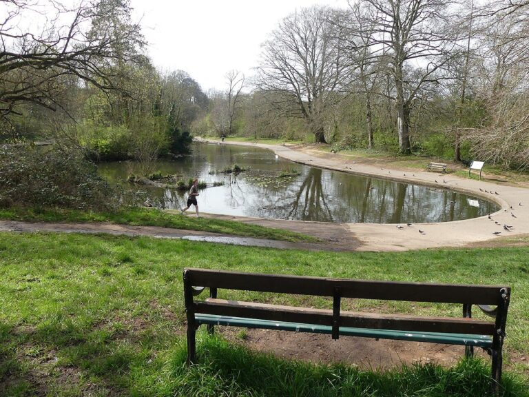

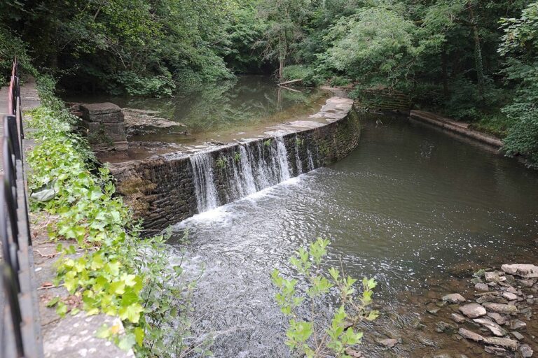

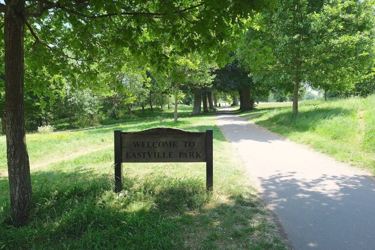

The short answer: Eastville Park has an ornamental lake, wildflower meadows and a one-mile running circuit (Bristol City Council, 2026; Friends of Eastville Park, 2026). Frome Vale is considered safe (90.1% by day). Most feel safe by day in Eastville (79.7%) and Hillfields (80%) too. After dark, fewer than half do (46% and 43.5%) (Bristol City Council, 2025). Take particular care around Lodge Causeway at night.
Getting there: From Eastville Park, the 47x bus reaches Broadmead in about 25 minutes. The University of Bristol takes about 35 (Google Maps, 2026). Cycling times are similar: about 25 and 30 minutes (OpenStreetMap, 2026).
Living there: Eastville Park’s north side borders the River Frome (Parks & Gardens UK, 2026). Follow the Frome upstream and the valley becomes a wooded gorge, with sheer rock rising high above the water (Bristol City Council, 1990s). Close by, Oldbury Court and Snuff Mills have riverside paths, ancient trees, dippers and otters (Bristol City Council, 2026). Snuff Mills has a tea hut.
A 1990s council study described traffic through Stapleton village as “heavy despite the completed M32 link” (Bristol City Council, 1990s). Hillfields has a place in housing history. A plaque on Beechen Drive, in Hillfields, marks Bristol’s first homes built under the 1919 national housing scheme (Historic England, 2019). In 1920, a Europe-wide housing congress came to see the Hillfields houses. Bristol Rovers fans got the nickname “Gasheads” from the smell of the gasworks near their old Eastville ground (The Bristol Cable, 2016).
Best for: runners and riverside walkers.
The numbers: Eastville is the busiest of the three wards. It records 145.2 crimes per 1,000 residents, seventh highest in the city (data.police.uk, 2026). That’s up 13% in three years. On the map, crime gathers most on or near a petrol station and a supermarket, with 183 and 139 incidents.
Hillfields has a far lower rate than Eastville, at 91.9 per 1,000. Crime there is up 34% in three years, level with Clifton Down for the largest rise in Bristol (data.police.uk, 2026). One map point, on or near Lodge Causeway, logged 221 incidents. After dark, 43.5% of residents feel safe, well below the 56.4% for Bristol as a whole (Bristol City Council, 2025).
Of these three wards, Frome Vale feels safest. It has a higher rate than Hillfields, at 117.2 per 1,000, but that’s down 2% in three years (data.police.uk, 2026). The survey finds 66.7% of residents feel safe after dark, above the figure for Bristol as a whole (Bristol City Council, 2025).
Southmead, Henbury and Brentry
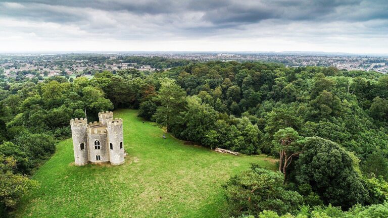

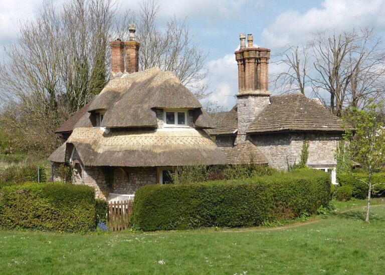
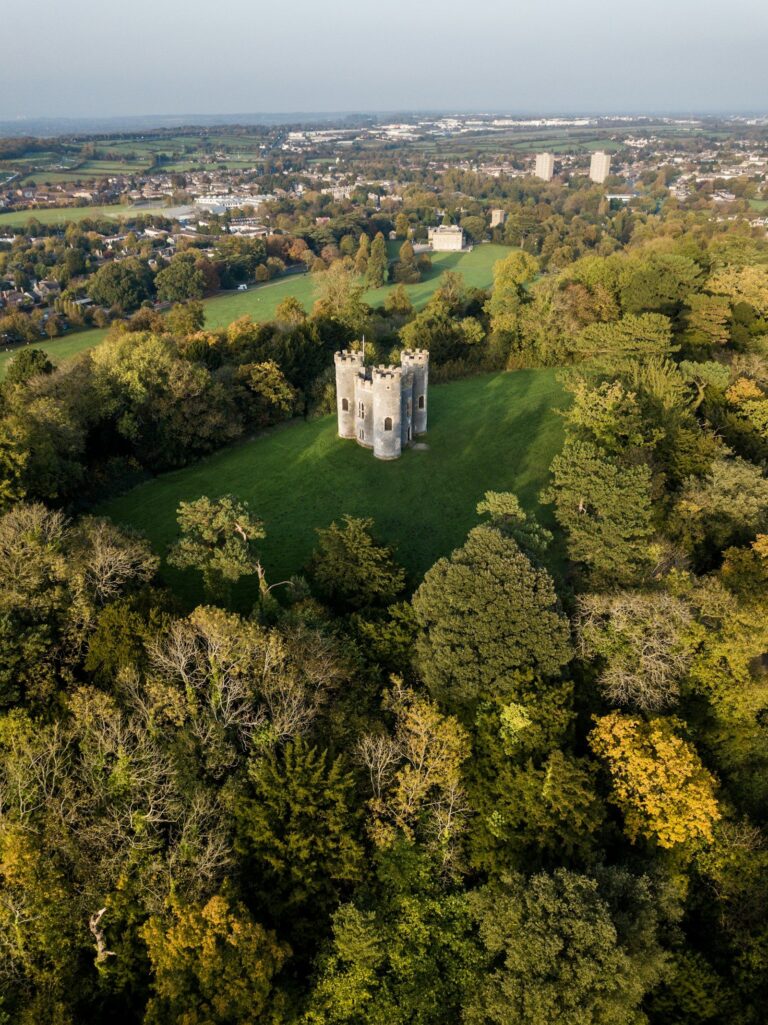
The short answer: The Blaise Castle Estate, close to Henbury, hides caves, lily ponds, a castle and a free museum (Bristol City Council, 2026). Most residents feel safe by day in both wards: 79% in Southmead and 80.8% in Henbury and Brentry. Night-time figures are 47% and 39.6% (Bristol City Council, 2025). After dark, travel with a friend around Lilac Close and Station Road.
Getting there: Expect about 40 minutes by bus to either the University of Bristol or Broadmead, in the city centre (Google Maps, 2026). A bike is quicker. Both are about 30 minutes away (OpenStreetMap, 2026).
Living there: Henbury keeps a rural village feel around its 12th-century church, hidden behind high rubble walls (Bristol City Council, 1990s). Henbury only became part of Bristol in 1935 (Bristol City Council, 1990s). A 1990s council study noted that traffic on Henbury Road took the edge off the village’s rural charm (Bristol City Council, 1990s). Blaise Hamlet, close by, is a village green ringed by nine cottages, designed by John Nash in 1811 (Bristol City Council, 1990s). The free Blaise Museum is full of old toys, costume and kitchen “contraptions” from 300 years of Bristol homes (Bristol Museums, 2026).
On the Southmead side, Badock’s Wood follows the River Trym through patches of woodland at least 400 years old (Bristol City Council, 2026). Tawny owls and bats swoop there at dusk. Hidden in the wood is a Bronze Age burial mound, built around 1300 BC (Bristol City Council, 2026). In 1937, Sir Stanley Badock gave the land to the city, and banned any building on it (Bristol City Council, 2026).
Best for: old woodland and historic parkland walks.
The numbers: Southmead and Henbury and Brentry record almost identical crime rates. Southmead’s is 119.8 crimes per 1,000 residents and Henbury and Brentry’s 119.6, both just below the city’s (data.police.uk, 2026). Their trends differ, though. Southmead’s rate has risen 18% in three years, while Henbury and Brentry’s is up just 1%. Southmead’s busiest map point is on or near Lilac Close, with 213 incidents. For Henbury and Brentry, it’s Station Road, with 200 logged on or near it. In Henbury and Brentry, 39.6% of residents feel safe after dark, well below Bristol’s 56.4% (Bristol City Council, 2025).
Avonmouth and Lawrence Weston
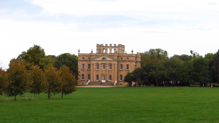

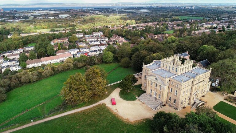

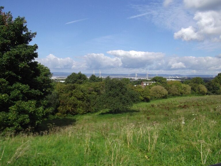

The short answer: Avonmouth and Lawrence Weston sit beside the Kings Weston Estate, where a Vanbrugh mansion looks out across the Bristol Channel (Bristol City Council, 2026; Kings Weston House, 2026). The estate is free and always open. By day, 86.2% of residents feel safe, and 60.3% after dark (Bristol City Council, 2025).
Getting there: This is the far north-west of the city. The number 4 bus reaches the University of Bristol in about 40 minutes. Broadmead, in the city centre, is about an hour (Google Maps, 2026). By bike, allow about 35 and 40 minutes (OpenStreetMap, 2026). Avonmouth station is on the Severn Beach line, once rated one of the most scenic routes in Europe (TravelWest, 2026). Trains to Temple Meads take about 27 minutes.
Living there: Kings Weston House is the only Bristol house by Sir John Vanbrugh (Kings Weston House, 2026). The house’s café opens seven days a week (Kings Weston House, 2026). A Roman villa turned up in 1947, when the homes of Lawrence Weston were being built (Bristol Museums, 2026). The villa keeps its original mosaic floors and Bristol’s only Roman bath suite (Bristol Museums, 2026).
Lawrence Weston Moor is one of the few remaining fragments of marsh that once stretched from Blaise Castle to Avonmouth (Bristol City Council, 2026). Wellies are recommended on the moor. England’s biggest onshore wind turbine is wholly owned by the local community, with no shareholders (Ambition Community Energy, 2026). The turbine can generate about as much power as Lawrence Weston’s homes use (Ambition Community Energy, 2026).
Best for: big views, open marsh and a scenic train line.
The numbers: Avonmouth and Lawrence Weston has more residents than any other Bristol ward: 23,264 (ONS via Nomis, 2025). At 117.5 crimes per 1,000, it ranks 21st of 34, just below the city rate (data.police.uk, 2026). The rate has barely moved in three years. After dark, 60.3% of residents feel safe, close to Bristol as a whole (Bristol City Council, 2025).
Bishopsworth
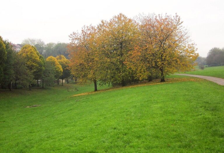

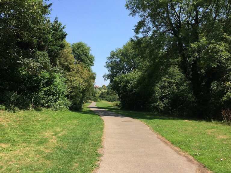

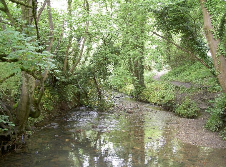

The short answer: Bishopsworth’s village core sits in the wooded valley of the Malago stream, beside Manor Woods Valley nature reserve (Manor Woods Valley Group, 2026; Bristol City Council, 2026). By day, 82.2% of residents feel safe. Near the supermarket and shopping area, be more alert at night, when 47% feel safe (Bristol City Council, 2025).
Getting there: Cycling to the University of Bristol or Broadmead takes about 30 minutes (OpenStreetMap, 2026). The number 76 bus reaches Broadmead in about 50. The University is about 45 minutes away by bus, with a change (Google Maps, 2026).
Living there: The Domesday Book of 1086 records two manors in Bishopsworth, and one matches today’s Manor Woods (Bristol City Council, 2026). A tarmac track runs the length of Manor Woods Valley. The track suits wheelchairs. You can walk in from St Peter’s Rise or from Vale Lane, just off Hartcliffe Way (Bristol City Council, 2026).
Bishopsworth’s village heart has three listed buildings: the Manor House, Chestnut Court and St Peter’s Church (Manor Woods Valley Group, 2026). The Manor House, from about 1720, has 12 chimney stacks, and the two middle stacks, front and back, are dummies (Historic England, 2026). On the edge of Bishopsworth, Lakeshore is a futuristic 1970s former tobacco headquarters, now apartments set over its own lake (Art and the Public Realm Bristol, 2026). Lakeshore’s original steel frame is Grade II listed. Bishopsworth’s main drawback is its distance from the city centre.
Best for: a quiet village core with a wooded valley next door.
The numbers: Shoplifting, rather than violence, leads the crime figures in Bishopsworth. It makes up 32% of recorded crime, the highest share for shoplifting in any Bristol ward (data.police.uk, 2026). A supermarket and a shopping area top the police map, with 310 and 282 incidents logged on or near them. Overall, the ward records 116.7 crimes per 1,000 residents, 18th of 34. That’s up 20% in three years, one of the larger rises in Bristol.
Where do students live in Bristol, and how safe is it?
If you’re coming here to study, the streets students live on matter more than any city-wide figure. Students make up a big share of some Bristol wards. At the 2021 Census, 33.0% of Clifton Down residents aged 16 and over were full-time students. In Cotham, the share was 32.0% (ONS via Nomis, 2021).
We wanted to know how Bristol’s student areas compare with those in seven other university cities. For Bristol, we show its two wards with the most full-time students outside the centre, Clifton Down and Cotham. For each other city, we took the ward with the highest share at the 2021 Census. We left out city-centre wards. Manchester is missing, because police.uk has no street-level data for it.
Cotham comes out lowest, at 65.7 crimes per 1,000 residents, level with Newcastle’s North Jesmond at 66.3 (data.police.uk, 2026). Clifton Down sits mid-table at 93.6. That’s below Birmingham’s Bournbrook and Selly Park (97.6) and Nottingham’s Radford (117.5). It’s above Liverpool’s Greenbank (79.4), Leeds’ Headingley and Hyde Park (79.6) and Sheffield’s Broomhill and Sharrow Vale (88.3). Cardiff’s Cathays tops the chart at 299.3, partly because it takes in some of the city’s main shopping streets.
These figures use 2021 Census residents and 2022 ward boundaries for every city. That’s why Bristol’s numbers differ slightly from the ward table above.
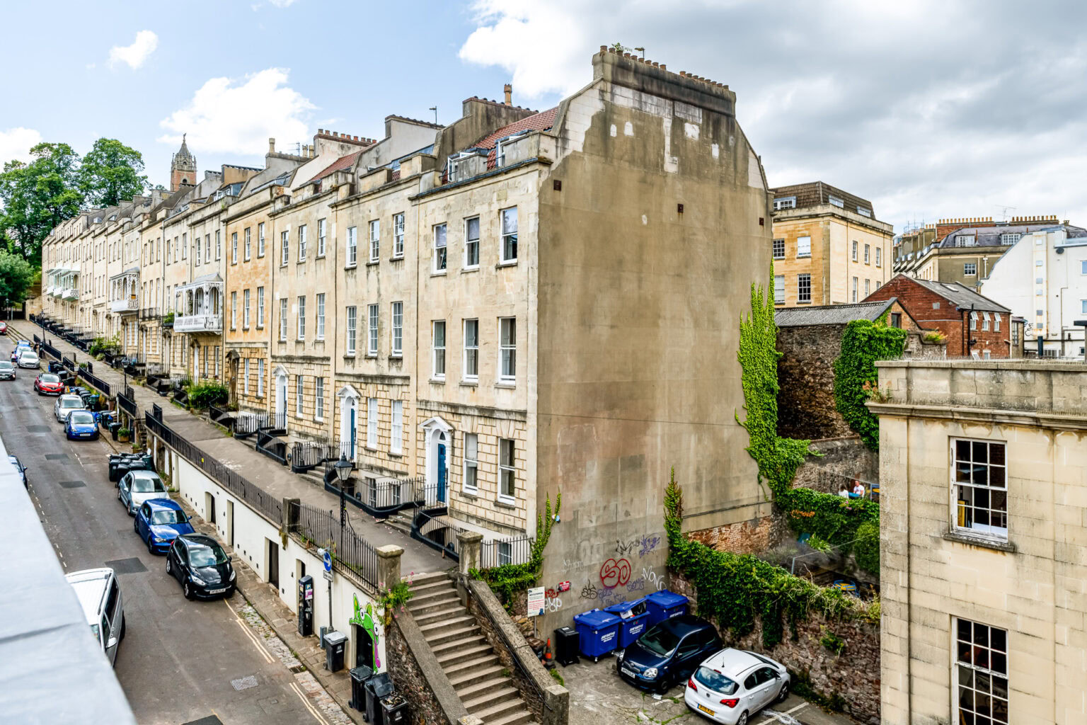
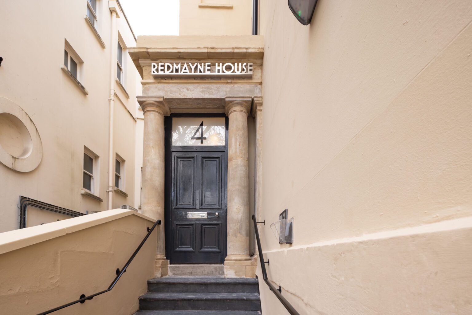
Now for our own homes. All 15 are in and around Clifton, from the Clifton Triangle to Park Street. Each is a short walk from the University of Bristol. Beech House, Redmayne House and Alison Court are in Clifton itself. Charlotte’s Rise and 18 Charlotte Street are close to Park Street.
The area feels very safe. By day, 98.6% of Clifton ward residents and 97.3% in Clifton Down feel safe (Bristol City Council, 2025). Cotham is a short walk away, and Redland is about 10 minutes by bike.
Inside, your mobile key opens the building door and your apartment door, and there’s 24-hour lockout help. Our answers to student accommodation security questions cover the buildings in more detail. For everything else, see our FAQs. University of Bristol Security Services work 24/7, with an emergency line on 0117 331 1223 (University of Bristol, 2026).
Like most big cities, Bristol records more crime per resident than England and Wales: 131.0 per 1,000, against 83.2. Street theft is a different story. Theft from the person, such as pickpocketing, is about 10 times as common per resident in London. It’s 8.07 per 1,000 there, against 0.80 in Bristol, in the year to March 2026 (Home Office, 2026). Our guide to Bristol’s crime rate and how it compares with London explains it in full.
Best areas to live in Bristol
Safety matters, but it’s only one part of choosing a home. Your daily walk, the green space nearby and how an area feels on a Tuesday evening all count.
Clifton brings those together. It’s also one of the safest areas in Bristol. The centre’s shops and nightlife are a short walk away. Yet its own streets are mostly homes, with a low crime rate of 58.2 per 1,000 (data.police.uk, 2026). After dark, 81.9% of Clifton residents feel safe, the highest share of any ward in Bristol (Bristol City Council, 2025).
For more on each neighbourhood, read our guide on where to live in Bristol as a student.
How we worked this out
Every number on this page is yours to check.
- Crime: police.uk street-level data, September 2025 to August 2026, excluding anti-social behaviour: 62,673 crimes, or 126.8 per 1,000 residents (data.police.uk, 2026). Map-point counts include anti-social behaviour, so we call them incidents.
- Other sources: ONS mid-2024 population, through Nomis. Bristol City Council’s Quality of Life survey 2024/25, about 100 to 140 replies per ward, so gaps of a few points can be down to chance. Home Office recorded crime, year to March 2026. Census 2021.
- Crime rate: crimes in the ward ÷ ward residents × 1,000.
- Getting there: walking and cycling times come from OpenStreetMap routing. Each starts from a central street in the area. They end at Broadmead and the Wills Memorial Building (University of Bristol), plus UWE’s Frenchay campus for the five safest wards. Bus times come from Google Maps, for a Monday 8:30am departure. We rounded times to the nearest 5 minutes from 10 up, and show walking only up to 45 minutes. Hills, pace and traffic change real journeys (OpenStreetMap, 2026; Google Maps, 2026).
Recorded crime only covers what people report. Map locations are approximate (data.police.uk, 2026). Streets near the University of the West of England’s Frenchay campus lie outside the city’s 34 wards.
We update these figures monthly. Last updated 4 October 2026.
Frequently asked questions
What is the safest area in Bristol?
Stoke Bishop is the safest area in Bristol by recorded crime. Police.uk logged 51.3 crimes per 1,000 residents there from September 2025 to August 2026 (data.police.uk, 2026). No other ward came lower. St George Troopers Hill is close behind at 51.6, followed by Redland, Clifton and Cotham. In Stoke Bishop, 97.3% of residents feel safe by day (Bristol City Council, 2025).
What areas should I avoid in Bristol?
There are not any no-go areas in Bristol. Crime gathers around nightlife and busy shopping streets, so take a little more care there, especially after dark. Central ward records Bristol’s highest rate, at 438.0 crimes per 1,000 residents (data.police.uk, 2026). Hotwells and Harbourside follows at 299.6, then Lawrence Hill at 193.8 and Lockleaze at 176.7.
Is Clifton safe?
Yes, Clifton is very safe. Clifton ward records 58.2 crimes per 1,000 residents, the fourth lowest of 34 wards (data.police.uk, 2026). Of its residents, 98.6% feel safe by day and 81.9% after dark, the highest after-dark share in Bristol (Bristol City Council, 2025). Watch for vehicle crime, at 26% of the total.
Is Easton safe?
Easton sits in the middle of Bristol’s crime table. The ward records 116.8 crimes per 1,000 residents, 19th of 34 and a little below the city rate of 126.8 (data.police.uk, 2026). That’s up 14% in three years. After dark, 45.6% of Easton residents feel safe, below the 56.4% for Bristol as a whole (Bristol City Council, 2025).
Is Bedminster safe?
Bedminster, south of the river, records less crime than most of Bristol. The ward logged 83.0 crimes per 1,000 residents, 10th lowest of 34, and 4% down on three years ago (data.police.uk, 2026). Residents feel safer than most of Bristol, too. After dark, 70.1% of them feel safe, against 56.4% across the city (Bristol City Council, 2025).
Is St Pauls safe?
St Pauls is part of Ashley ward. The ward also takes in Stokes Croft and Montpelier. Ashley records 142.6 crimes per 1,000 residents, the eighth highest of Bristol’s 34 wards (data.police.uk, 2026). Its busiest map point is on or near Bond Street, close to Cabot Circus. Just under half of Ashley residents, 49.3%, feel safe after dark, below the 56.4% for Bristol as a whole (Bristol City Council, 2025).
Is Harbourside safe?
Yes, most people who live at the Harbourside feel safe. In Hotwells and Harbourside ward, 91.3% feel safe by day and 71.6% after dark (Bristol City Council, 2025). That’s well above the 56.4% for Bristol as a whole, despite the busy nightlife. The ward records 299.6 crimes per 1,000 residents, much of it on or near a nightclub and the ferry terminal (data.police.uk, 2026). Most people there are visitors.
Choosing where to live in Bristol
Crime figures can tell you a lot. The best way to judge a home is to see it for yourself. Can’t get to Bristol first? We offer virtual tours before you book, so you can look around from wherever you are. Browse all our Bristol properties to see where each one sits. When you find one you like, message the team or book a viewing, and we’ll set up a tour. Parents are welcome to call. We like talking to families.
About the author
Jonathan Brecknell helps run Urban Student, a family of boutique student residences in Bristol managed by Urban Creation. Urban Student has looked after students coming to the University of Bristol for more than 20 years, across 15 properties within walking distance of campus. Jonathan knows Bristol’s neighbourhoods first-hand, including every area our guides cover. He advises students, their families and visitors on everything Bristol, always putting safety and wellbeing first.
Sources
- data.police.uk, Street-level crime data for Bristol (September 2025 to August 2026), retrieved 2026-09-30, https://data.police.uk/
- data.police.uk, About data.police.uk, retrieved 2026-09-30, https://data.police.uk/about/
- Home Office, Police recorded crime and outcomes open data tables, retrieved 2026-09-30, https://www.gov.uk/government/statistical-data-sets/police-recorded-crime-and-outcomes-open-data-tables
- Office for National Statistics via Nomis, Mid-2024 population estimates, retrieved 2026-09-30, https://www.nomisweb.co.uk/
- Office for National Statistics via Nomis, Census 2021, retrieved 2026-09-30, https://www.nomisweb.co.uk/sources/census_2021
- Bristol City Council, Quality of Life in Bristol (2024/25 survey), retrieved 2026-09-30, https://www.bristol.gov.uk/council-and-mayor/statistics-census-information/quality-of-life-in-bristol
- University of Bristol, Security Services, retrieved 2026-09-30, https://www.bristol.ac.uk/securityservices/
- Avon and Somerset Police, Report feeling unsafe in public spaces (StreetSafe), retrieved 2026-09-30, https://www.avonandsomerset.police.uk/report/streetsafe/
- Bristol BID, Bristol Safe Space at Night, retrieved 2026-09-30, https://www.bristolbid.co.uk/projects/bristol-safe-space/
- Bristol City Council, Clifton and Hotwells Character Appraisal (2010), retrieved 2026-10-02, https://www.bristol.gov.uk/files/documents/2927-clifton-and-hotwells-character-appraisal
- Bristol City Council, Cotham and Redland Character Appraisal (2011), retrieved 2026-10-02, https://www.bristol.gov.uk/files/documents/2930-cotham-redland-character-appaisal
- Bristol City Council, Westbury-on-Trym Character Appraisal (2015), retrieved 2026-10-02, https://www.bristol.gov.uk/files/documents/4709-westbury-on-trym-character-appraisal-july-2015
- Bristol City Council, Gloucester Road Character Appraisal (2017), retrieved 2026-10-02, https://www.bristol.gov.uk/files/documents/2923-gloucester-road-conservation-character-appraisal
- Bristol City Council, Portland and Brunswick Square Character Appraisal (2008), retrieved 2026-10-02, https://www.bristol.gov.uk/files/documents/11212-portland-and-brunswick-square-conservation-area-character-appraisal
- Bristol City Council, Sneyd Park Enhancement Statement (1990s), retrieved 2026-10-02, https://www.bristol.gov.uk/files/documents/2953-23-sneyd-park
- Bristol City Council, Whiteladies Road Enhancement Statement (1990s), retrieved 2026-10-02, https://www.bristol.gov.uk/files/documents/2959-12-whiteladies-road
- Bristol City Council, Henbury Enhancement Statement (1990s), retrieved 2026-10-02, https://www.bristol.gov.uk/files/documents/2950-01-henbury
- Bristol City Council, Brislington Enhancement Statement (1990s), retrieved 2026-10-02, https://www.bristol.gov.uk/files/documents/2949-28-brislington
- Bristol City Council, Troopers Hill, retrieved 2026-10-02, https://www.bristol.gov.uk/residents/museums-parks-sports-and-culture/parks-and-open-spaces/nature-reserves/troopers-hill
- Bristol City Council, The Northern Slopes, retrieved 2026-10-02, https://www.bristol.gov.uk/residents/museums-parks-sports-and-culture/parks-and-open-spaces/nature-reserves/the-northern-slopes
- Bristol City Council, Eastville Park, retrieved 2026-10-02, https://www.bristol.gov.uk/museums-parks-sports-culture/eastville-park
- Bristol City Council, Blaise Castle Estate, retrieved 2026-10-02, https://www.bristol.gov.uk/museums-parks-sports-culture/blaise-castle-estate
- Bristol City Council, Stoke Park Estate, retrieved 2026-10-02, https://www.bristol.gov.uk/museums-parks-sports-culture/stoke-park-estate
- Bristol City Council, Horfield Common, retrieved 2026-10-02, https://www.bristol.gov.uk/museums-parks-sports-culture/horfield-common
- Bristol City Council, Hengrove Park, retrieved 2026-10-02, https://www.bristol.gov.uk/museums-parks-sports-culture/hengrove-park
- Bristol City Council, Oldbury Court Estate, retrieved 2026-10-02, https://www.bristol.gov.uk/museums-parks-sports-culture/oldbury-court-estate
- Bristol City Council, Manor Woods Valley, retrieved 2026-10-02, https://www.bristol.gov.uk/museums-parks-sports-culture/manor-woods-valley
- Bristol City Council, Stockwood Open Space, retrieved 2026-10-02, https://www.bristol.gov.uk/museums-parks-sports-culture/stockwood-open-space
- Bristol City Council, Kings Weston Estate, retrieved 2026-10-02, https://www.bristol.gov.uk/museums-parks-sports-culture/kings-weston-estate
- Bristol City Council, St Nicholas Markets, retrieved 2026-10-02, https://www.bristol.gov.uk/st-nicholas-markets
- Visit Bristol, Explore East Bristol, retrieved 2026-10-02, https://visitbristol.co.uk/discover/areas/east-bristol/
- Visit Bristol, City Centre and Old City, retrieved 2026-10-02, https://visitbristol.co.uk/discover/areas/city-centre-and-old-city/
- Visit Bristol, Harbourside, retrieved 2026-10-02, https://visitbristol.co.uk/discover/areas/harbourside/
- Visit Bristol, Clifton, retrieved 2026-10-02, https://visitbristol.co.uk/discover/areas/clifton/
- Visit Bristol, Gloucester Road and Stokes Croft, retrieved 2026-10-02, https://visitbristol.co.uk/discover/areas/gloucester-road-and-stokes-croft/
- Visit Bristol, Southville and Bedminster, retrieved 2026-10-02, https://visitbristol.co.uk/discover/areas/southville-and-bedminster/
- Bristol Museums, Kings Weston Roman Villa, retrieved 2026-10-02, https://www.bristolmuseums.org.uk/kings-weston-roman-villa/
- Avon Wildlife Trust, Dundry Slopes, retrieved 2026-10-02, https://www.avonwildlifetrust.org.uk/dundry-slopes
- Windmill Hill City Farm, About us, retrieved 2026-10-02, https://www.windmillhillcityfarm.org.uk/about-us/
- Henleaze Swimming Club, The story of the lake, retrieved 2026-10-02, https://www.henleazeswimmingclub.org/about-us/the-story-of-the-lake/
- Hartcliffe City Farm, Visit us, retrieved 2026-10-02, https://hartcliffecityfarm.org.uk/visit-us/
- RSPB Bristol Local Group, Purdown, retrieved 2026-10-02, https://group.rspb.org.uk/bristol/local-wild-places/purdown/
- Knowle West community site, The history of Knowle West, retrieved 2026-10-02, https://www.knowlewest.co.uk/the-history-of-knowle-west/
- Bristol City Council, St Anne’s Park (Nightingale Valley), retrieved 2026-10-02, https://www.bristol.gov.uk/residents/museums-parks-sports-and-culture/parks-and-open-spaces/parks-with-play-equipment/park-finder/park?id=59
- Bristol Downs Association Football League, About, retrieved 2026-10-04, https://bristoldownsleague.co.uk/about-us/
- Society of Merchant Venturers, How the Downs came to be, retrieved 2026-10-04, https://www.merchantventurers.com/our-impact/clifton-and-durdham-downs/how-the-downs-came-to-be/
- Bristol City Council, Sea Mills Character Appraisal (2011), retrieved 2026-10-04, https://www.bristol.gov.uk/files/documents/2937-sea-mills-character-appraisal
- Bristol City Council and Avon Gorge & Downs Wildlife Project, Discover the wildlife of the Avon Gorge and Downs (leaflet, undated), retrieved 2026-10-04, https://www.bristol.gov.uk/files/documents/3664-wildlife-on-the-avon-gorge-and-bristol-downs-leaflet/file
- TravelWest, Severn Beach Line, retrieved 2026-10-04, https://travelwest.info/rail/severn-beach-line/
- TravelWest, Portway Park and Ride Rail Station, retrieved 2026-10-04, https://travelwest.info/projects/portway-park-ride-rail-station/
- Friends of Troopers Hill, Home page, retrieved 2026-10-04, https://www.troopers-hill.org.uk/
- Friends of Troopers Hill, Troopers Hill Chimneys, retrieved 2026-10-04, http://www.troopers-hill.org.uk/Chimneys/
- Friends of Troopers Hill, Dark Sky Discovery Site, retrieved 2026-10-04, https://www.troopers-hill.org.uk/DarkSky/
- Friends of Troopers Hill, Visiting, retrieved 2026-10-04, https://www.troopers-hill.org.uk/visiting/
- RSPB Bristol Local Group, Troopers Hill, retrieved 2026-10-04, https://group.rspb.org.uk/bristol/local-wild-places/troopers-hill/
- Time Out, The Michelin-starred neighbourhood restaurant that is officially the best place to eat in Bristol in 2025, retrieved 2026-10-04, https://www.timeout.com/uk/news/the-michelin-starred-neighbourhood-restaurant-that-is-officially-the-best-place-to-eat-in-bristol-in-2025-082825
- Bristol Live via Yahoo News UK, The unassuming Bristol street where top-rated restaurants sit side-by-side, retrieved 2026-10-04, https://uk.news.yahoo.com/unassuming-bristol-street-where-top-040000362.html
- Bristol Rail Campaign, Walk: Clifton Down to Stapleton Road, retrieved 2026-10-04, https://bristolrailcampaign.org.uk/walks-by-train/walk-clifton-down-to-stapleton-road/
- Bristol City Council, Redland Green, retrieved 2026-10-04, https://www.bristol.gov.uk/museums-parks-sports-culture/redland-green
- Clifton Observatory, Home page, retrieved 2026-10-04, https://cliftonobservatory.com/
- Visit Bristol, Christmas light trails in and around Bristol, retrieved 2026-10-04, https://visitbristol.co.uk/blog/post/christmas-light-trails-in-and-around-bristol/
- Bristol City Council, Cotham Hill After Survey (2024), retrieved 2026-10-04, https://www.bristol.gov.uk/files/ask-bristol/9317-cotham-hill-after-survey-report/file
- Visit Bristol, The Local’s Guide: Cotham and Kingsdown, retrieved 2026-10-04, https://visitbristol.co.uk/blog/post/the-locals-guide-cotham-and-kingsdown/
- Bristol Film Office, King Street, retrieved 2026-10-04, https://filmbristol.co.uk/locations/popular-locations/king-street/
- Bristol Old City, The Nails, retrieved 2026-10-04, https://bristololdcity.co.uk/where-to-go/nails
- Academy of Urbanism, Queen Square, retrieved 2026-10-04, https://www.academyofurbanism.org.uk/queen-square/
- Bristol City Council, Castle Park, retrieved 2026-10-04, https://www.bristol.gov.uk/residents/museums-parks-sports-and-culture/parks-and-open-spaces/parks-and-estates/castle-park
- Bristol City Council, Licensing Act 2003 Cumulative Impact Assessment (2024 to 2027), retrieved 2026-10-04, https://www.bristol.gov.uk/files/documents/7394-cumulative-impact-assessment-2024-2027/file
- Bristol Ferry, Home page, retrieved 2026-10-04, https://www.bristolferry.com/
- Visit Bristol, The Local’s Guide: Cliftonwood, retrieved 2026-10-04, https://visitbristol.co.uk/blog/post/the-locals-guide-cliftonwood/
- Wapping Wharf, Home page, retrieved 2026-10-04, https://wappingwharf.co.uk/
- Visit Bristol, Explore Wapping Wharf, retrieved 2026-10-04, https://visitbristol.co.uk/discover/areas/harbourside/wapping-wharf/
- Visit Bristol, The story of the Underfall Yard, retrieved 2026-10-04, https://visitbristol.co.uk/blog/read/2021/03/the-story-of-underfall-yard-b1416
- Academy of Urbanism, St Marks Road, Bristol, retrieved 2026-10-04, https://www.theaou.org/resources/st-marks-road-bristol
- Visit Bristol, The Local’s Guide: Easton, retrieved 2026-10-04, https://visitbristol.co.uk/blog/post/the-locals-guide-easton/
- BS5 Art Trail, About the Trail, retrieved 2026-10-04, https://bs5arttrail.co.uk/about-the-trail/
- Bristol City Council, Old Market Character Appraisal (2008), retrieved 2026-10-04, https://www.bristol.gov.uk/files/documents/2933-old-market-character-appraisal-red-2/file
- Bristol City Council, Montpelier Character Appraisal (2008), retrieved 2026-10-04, https://www.bristol.gov.uk/files/documents/2932-montpelier-character-appraisal-red-2
- Bristol City Council, St Andrews Park, retrieved 2026-10-04, https://www.bristol.gov.uk/residents/museums-parks-sports-and-culture/parks-and-open-spaces/parks-and-estates/st-andrews-park
- Circomedia, Our Spaces, retrieved 2026-10-04, https://www.circomedia.com/our-spaces-2/
- St Pauls Carnival, About St Pauls Carnival, retrieved 2026-10-04, https://www.stpaulscarnival.net/about-st-pauls-carnival
- Visit West, Full-scale St Pauls Carnival will not take place in 2026, retrieved 2026-10-04, https://www.visitwest.co.uk/news/read/2026/05/full-scale-st-pauls-carnival-will-not-take-place-in-2026-b6853
- GWR, Ashley Down station, retrieved 2026-10-04, https://www.gwr.com/stations-and-destinations/stations/new-stations/ashley-down
- Lockleaze Neighbourhood Trust, The Hub, retrieved 2026-10-04, https://www.lockleazent.co.uk/our-places/the-hub/
- Hartcliffe City Farm, Sauna, retrieved 2026-10-04, https://hartcliffecityfarm.org.uk/visit-us/sauna/
- Bristol City Council, Withywood Park, retrieved 2026-10-04, https://www.bristol.gov.uk/residents/museums-parks-sports-and-culture/parks-and-open-spaces/parks-with-play-equipment/park-finder/park?id=70
- Visit Bristol, Markets in Bristol, retrieved 2026-10-04, https://visitbristol.co.uk/things-to-do/shopping/markets/
- Everyman, Everyman Bristol, retrieved 2026-10-04, https://www.everymancinema.com/venues-list/x0x3q-everyman-bristol/
- Bristol Lido, History of Bristol Lido, retrieved 2026-10-04, https://www.lidobristol.com/wp-content/uploads/2020/09/History-of-Bristol-Lido.pdf
- TVBEurope, BBC’s Natural History Unit to move to new production base, retrieved 2026-10-04, https://www.tvbeurope.com/production-post/bbcs-natural-history-unit-to-move-to-new-production-base
- Bristol City Council, Bedminster Conservation Area Character Appraisal (2013), retrieved 2026-10-04, https://www.bristol.gov.uk/files/documents/9779-bedminster-conservation-area-character-appraisal
- Tobacco Factory, Sunday Market, retrieved 2026-10-04, https://www.tobaccofactory.com/sunday-market/
- Bristol City Council, Victoria Park, retrieved 2026-10-04, https://www.bristol.gov.uk/museums-parks-sports-culture/victoria-park
- TRESA, Totterdown, retrieved 2026-10-04, https://www.tresa.org.uk/totterdown-4/
- Visit Bristol, The Local’s Guide: Totterdown, retrieved 2026-10-04, https://visitbristol.co.uk/blog/post/the-locals-guide-totterdown/
- Network Rail, A new station at Ashley Down in Bristol, retrieved 2026-10-04, https://www.networkrail.co.uk/stories/a-new-station-at-ashley-down-in-bristol/
- World Rugby Museum, A History of the Bristol Memorial Ground, retrieved 2026-10-04, https://worldrugbymuseum.com/from-the-vaults/club-rugby/a-history-of-the-bristol-memorial-ground
- Visit Bristol, The story of the Müller Orphan Homes, retrieved 2026-10-04, https://visitbristol.co.uk/blog/post/the-story-of-the-mller-orphan-homes-in-bristol/
- Parks & Gardens UK, Canford Park, retrieved 2026-10-04, https://www.parksandgardens.org/places/canford-park
- Avon Wildlife Trust, Team Wilder: Trout in the Trym, retrieved 2026-10-04, https://www.avonwildlifetrust.org.uk/team-wilder-trout-in-the-trym
- Parks & Gardens UK, Perrett Park, retrieved 2026-10-04, https://www.parksandgardens.org/places/perrett-park
- Brislington Conservation and History Society, History, retrieved 2026-10-04, https://brislingtonhistory.org.uk/history.php
- Greater Brislington Together, Brislington Parks, Trails and Green Spaces, retrieved 2026-10-04, https://greaterbrislington.org/local-community-information/brislington-parks-trails-and-green-spaces/
- Bristol City Council, Callington Road, retrieved 2026-10-04, https://www.bristol.gov.uk/residents/museums-parks-sports-and-culture/parks-and-open-spaces/nature-reserves/callington-road
- Bristol & Avon Family History Society, St George, retrieved 2026-10-04, https://bafhs.org.uk/st-george/
- Bristol City Council, Church Road high street engagement and plans, retrieved 2026-10-04, https://www.bristol.gov.uk/files/documents/5149-church-road-high-street-engagement-and-plans/file
- Visit Bristol, The Local’s Guide: St George, retrieved 2026-10-04, https://visitbristol.co.uk/blog/post/the-locals-guide-st-george/
- Bristol City Council, St George Park, retrieved 2026-10-04, https://www.bristol.gov.uk/museums-parks-sports-culture/st-george-park
- Parks & Gardens UK, St George’s Park, retrieved 2026-10-04, https://www.parksandgardens.org/places/st-georges-park
- Friends of Eastville Park, Home page, retrieved 2026-10-04, https://eastvillepark.org.uk/
- Parks & Gardens UK, Eastville Park, retrieved 2026-10-04, https://www.parksandgardens.org/places/eastville-park
- Bristol City Council, Stapleton and Frome Valley Enhancement Statement (1990s), retrieved 2026-10-04, https://www.bristol.gov.uk/files/documents/2954-03-stapleton-and-frome-valley
- Historic England, The History of Council Housing: 6 Responses to the 1919 Addison Act, retrieved 2026-10-04, https://heritagecalling.com/2019/07/29/the-history-of-council-housing/
- The Bristol Cable, The beating heart in IKEA car park, retrieved 2026-10-04, https://thebristolcable.org/2016/11/the-beating-heart-in-ikea-car-park/
- Bristol Museums, Blaise Museum, retrieved 2026-10-04, https://www.bristolmuseums.org.uk/blaise-museum/
- Bristol City Council and Friends of Badock’s Wood, Welcome to Badock’s Wood Local Nature Reserve, retrieved 2026-10-04, https://www.bristol.gov.uk/files/documents/3686-badocks-wood/file
- Kings Weston House, Home page, retrieved 2026-10-04, https://www.kingswestonhouse.co.uk/
- Kings Weston House, Our Story, retrieved 2026-10-04, https://www.kingswestonhouse.co.uk/our-story
- Bristol City Council, Lawrence Weston Moor, retrieved 2026-10-04, https://www.bristol.gov.uk/residents/museums-parks-sports-and-culture/parks-and-open-spaces/nature-reserves/lawrence-weston-moor
- Ambition Community Energy, Home page, retrieved 2026-10-04, https://ambitioncommunityenergy.org/
- Manor Woods Valley Group, Bishopsworth and Malago Conservation Area, retrieved 2026-10-04, https://manorwoodsvalley.org/about-manor-woods-valley/manor-woods-valley-group/malago-valley-conservation-group-mvcg/bishopsworth-malago-conservation-area/
- Historic England, Bishopsworth Manor and attached walls and piers (list entry 1202076), retrieved 2026-10-04, https://historicengland.org.uk/listing/the-list/list-entry/1202076
- Art and the Public Realm Bristol, Lakeshore, retrieved 2026-10-04, https://aprb.co.uk/projects/lakeshore/
- OpenStreetMap contributors, walking and cycling routes via routing.openstreetmap.de, retrieved 2026-10-02, https://www.openstreetmap.org/
- Google Maps, public transport directions for a Monday 8:30am departure, retrieved 2026-10-02, https://www.google.com/maps
